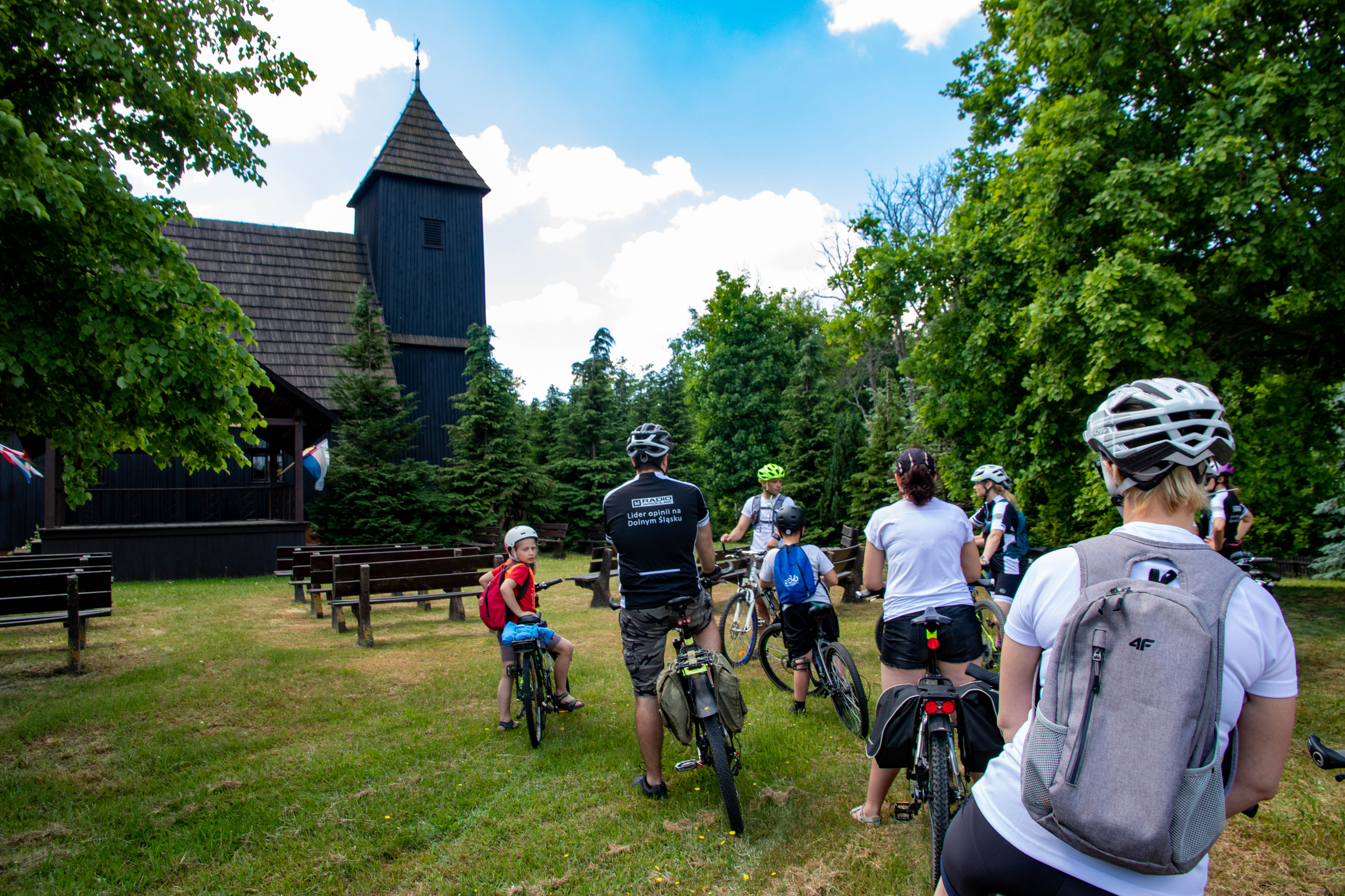
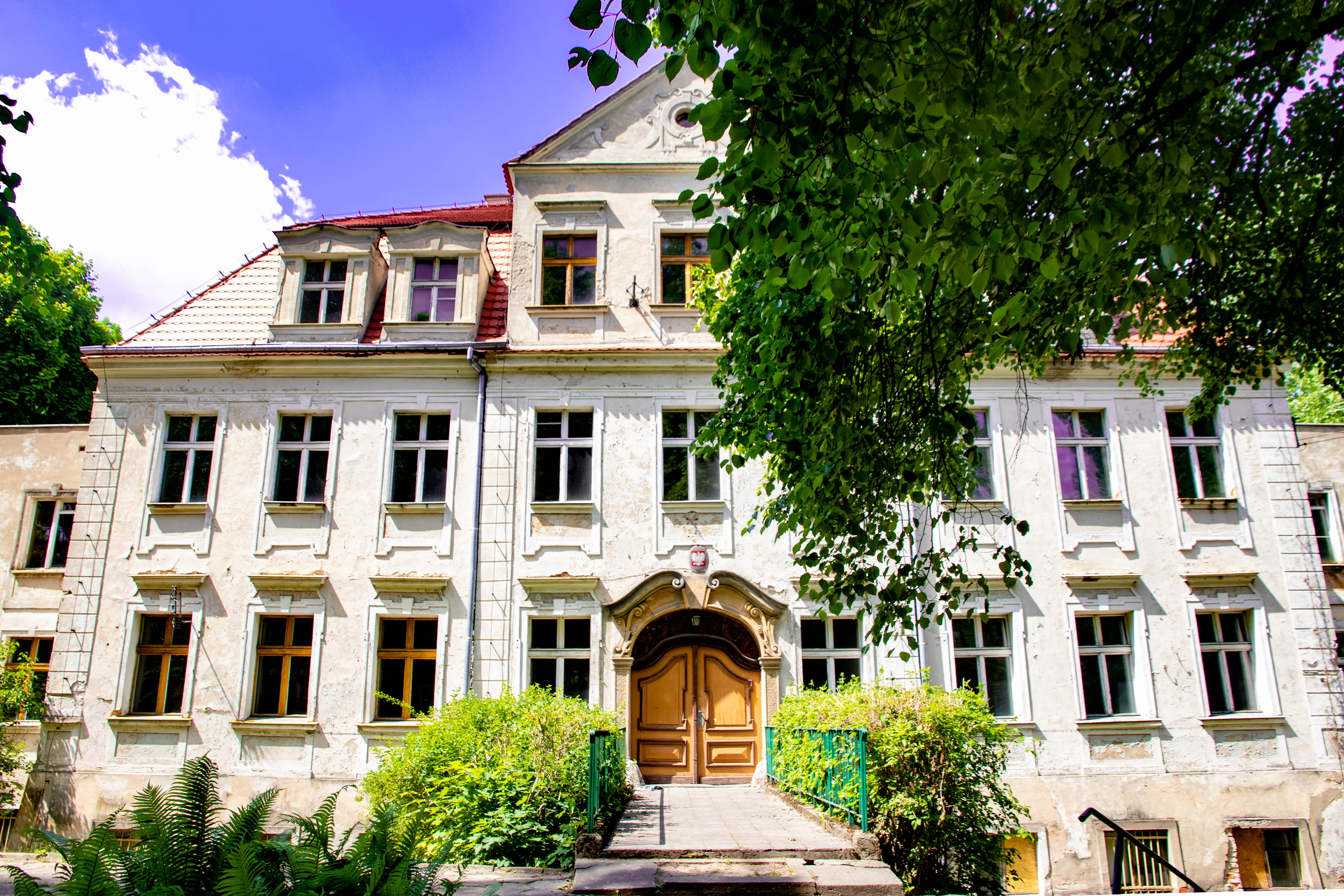
St. Giles Wooden Church in Chelstow
Chełstów
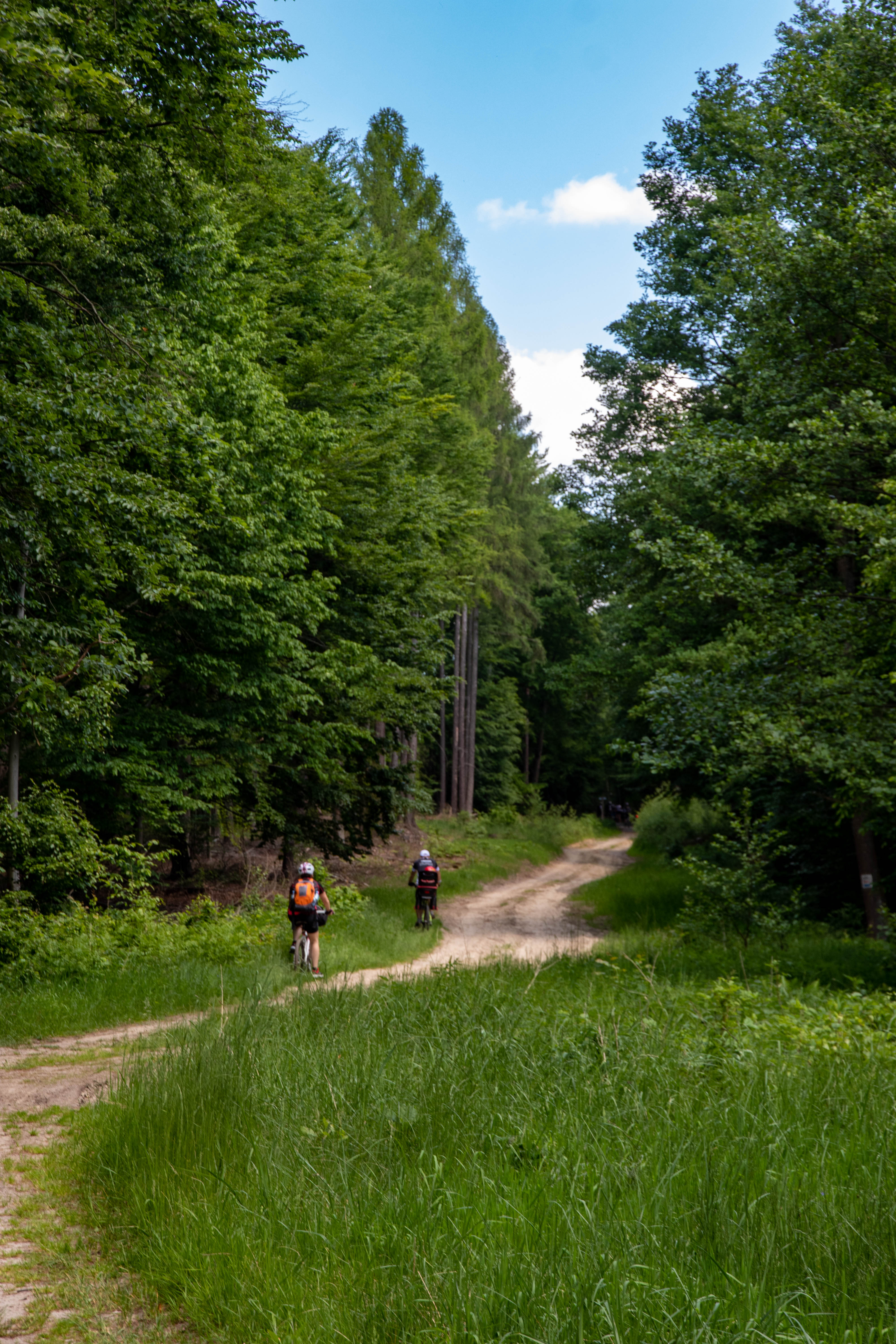
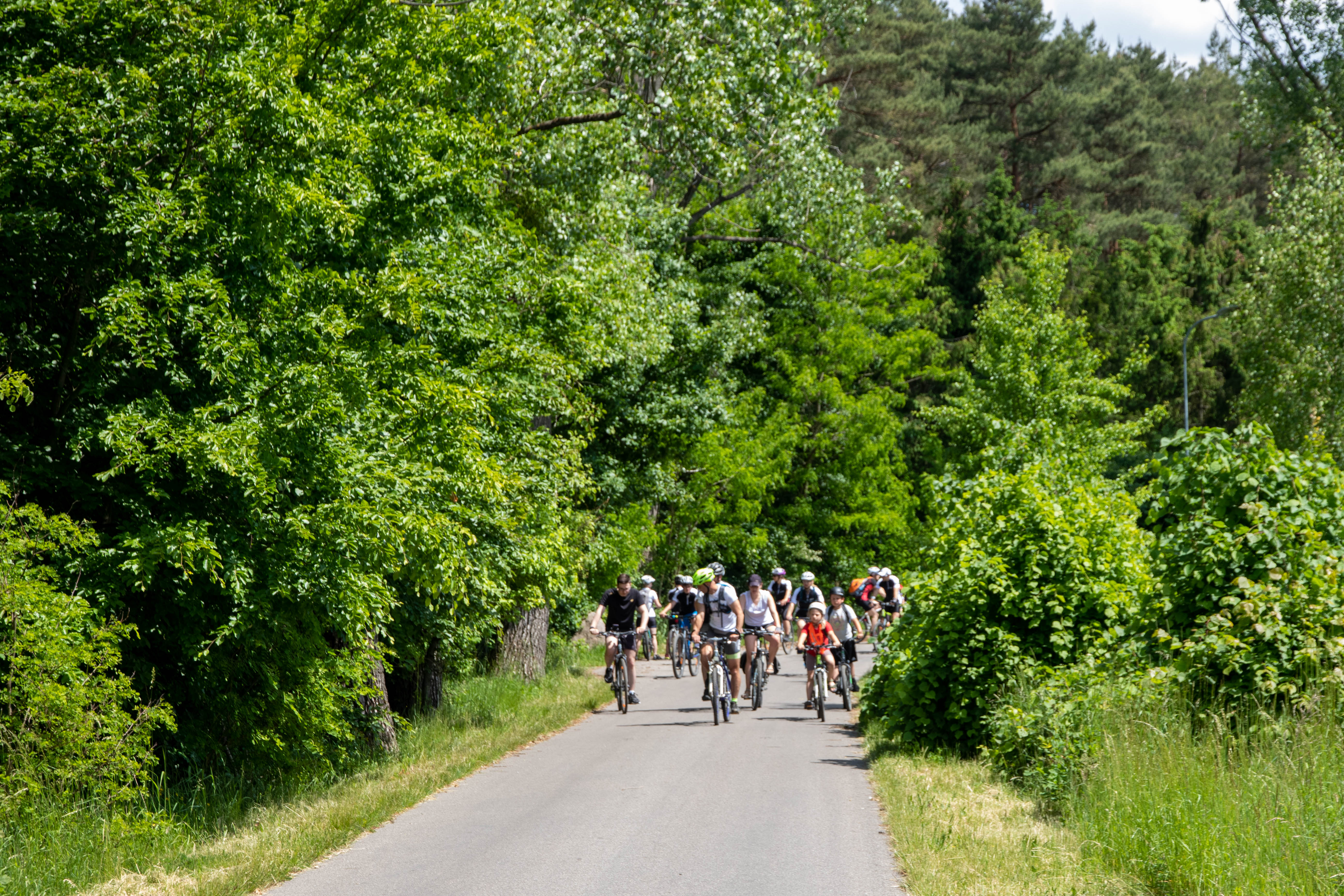
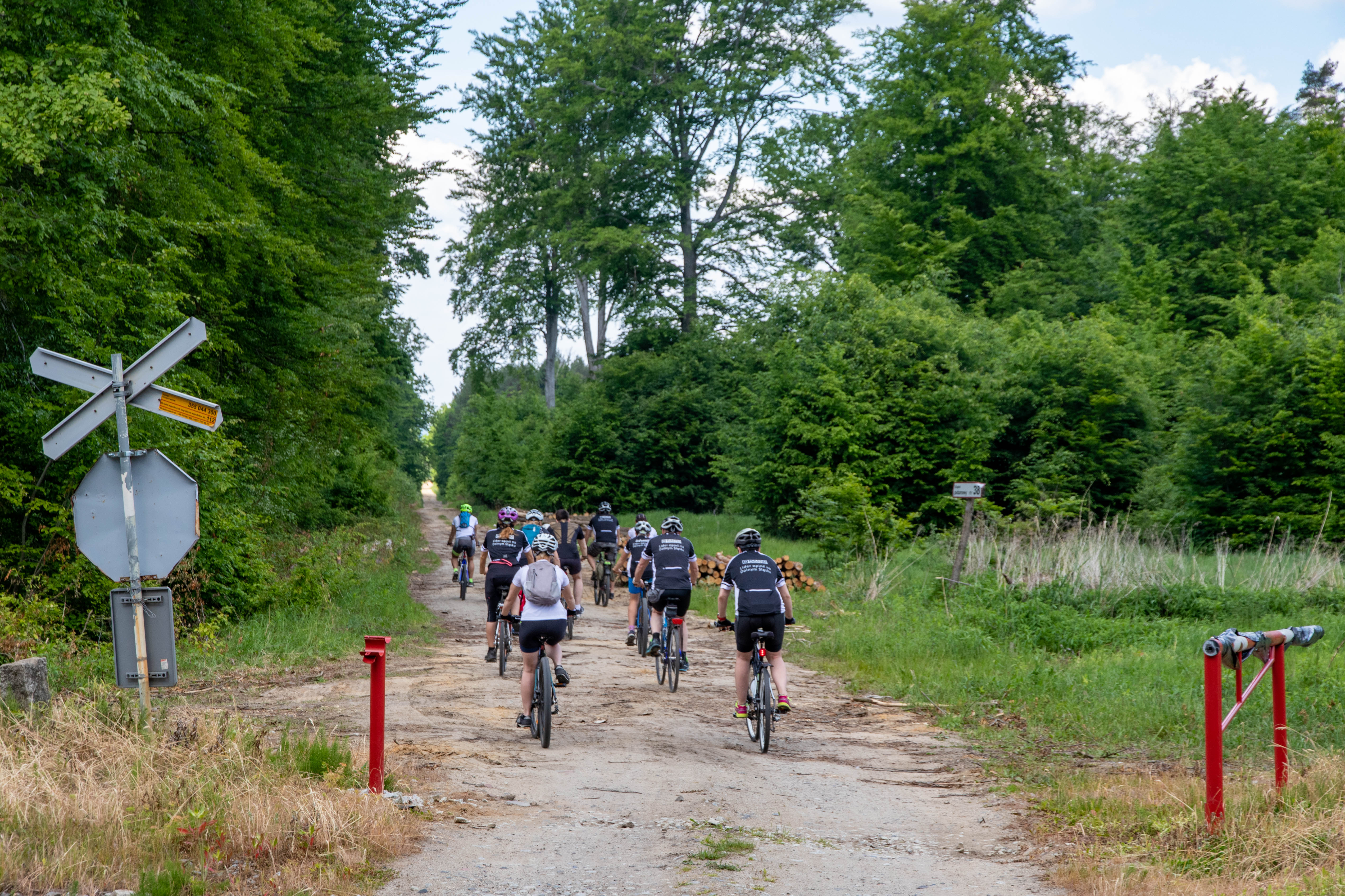
The KORONA KOCICH GÓR route runs along the main ridge of the Twardogórskie and Trzebnickie Mountains, hence the name, which refers to the colloquial name for the entire mountain range. The route is only suitable for very experienced cyclists, as it has many difficult climbs (see the route profile below).
The route is marked in blue on the terrain and is linear (A --> B). Its length is about 100 kilometres. It starts at the border between the communes of Twardogóra and Syców, on the Bukowina Sycowska road, which can be reached by train.
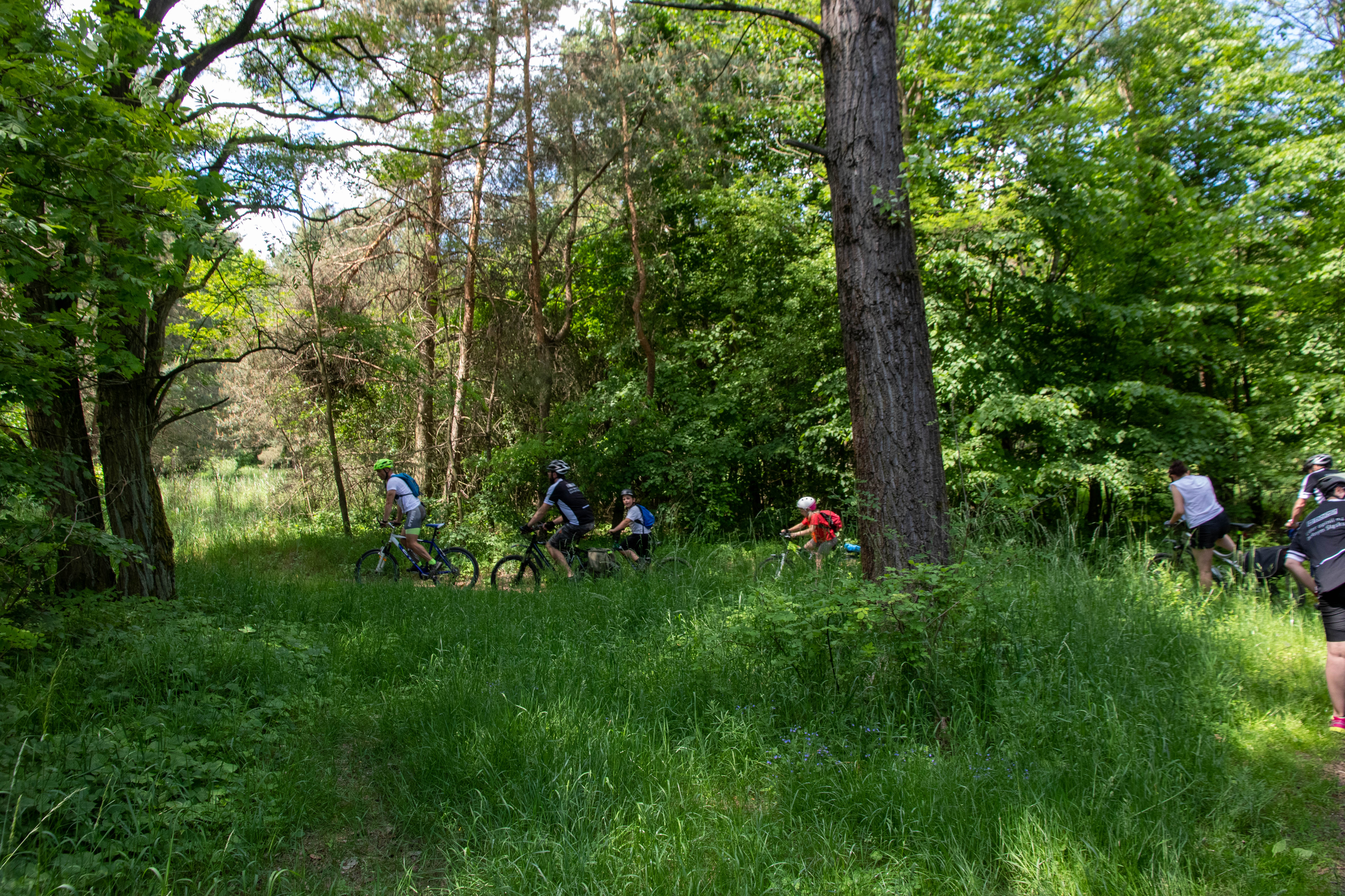
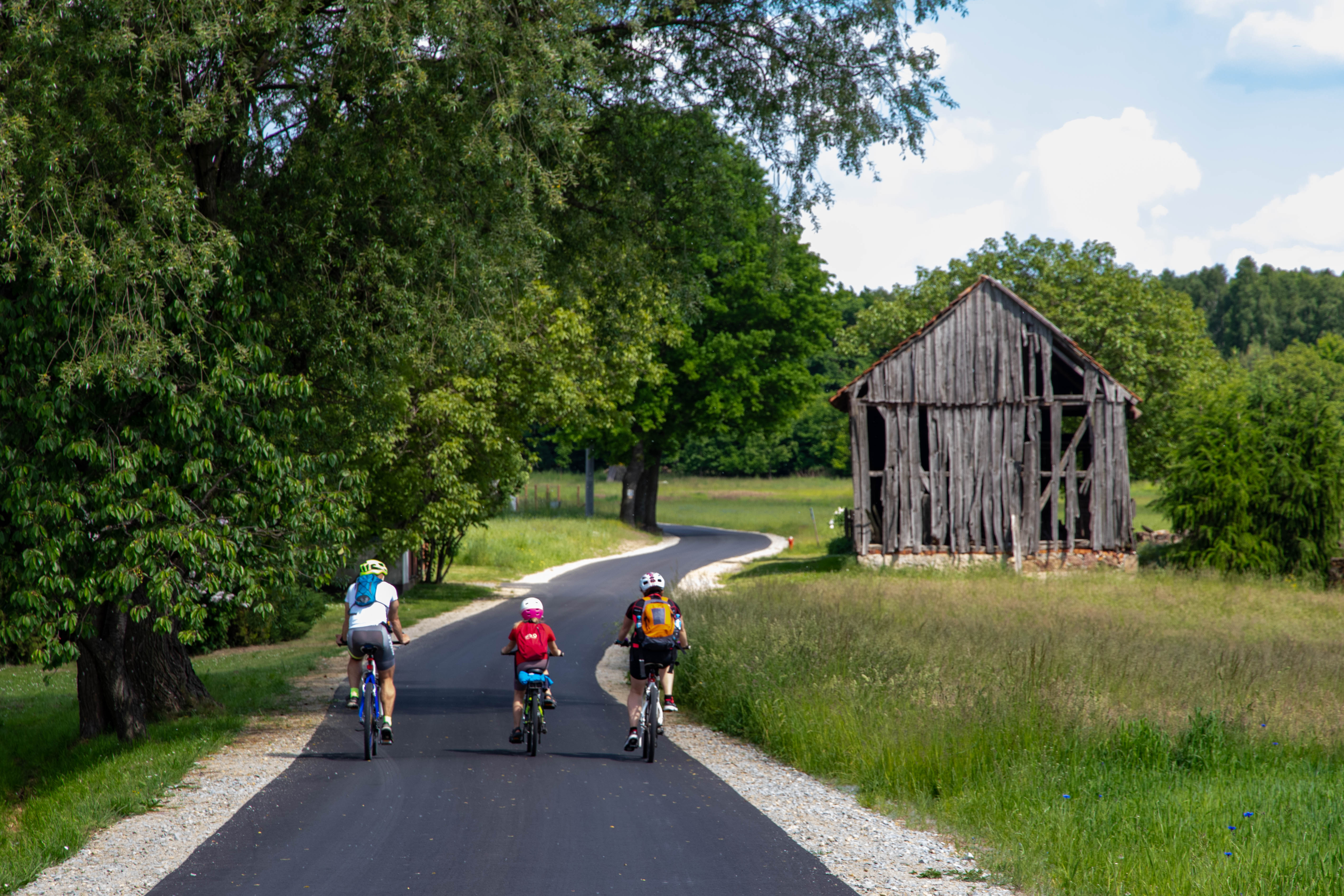
(I) Gola Wielka - Grabowno Wielkie (17 km): The first section of the route runs along the ridge of the Twardogóra Mountains and meets one of its highest mountains - Chełstowska Góra (265 m above sea level). The route has a varied character and leads along both forest and asphalt roads. Along the way, it is worth visiting the wooden churches in Chełstów and Grabownia Wielkie as well as the monuments in Twardogóra. Apart from Twardogóra, there are no catering facilities along the route.
Route: Gola Wielka - Chełstowska Góra (265 m above sea level) - Chełstów (wooden church of St Idzi) - Sądrożyce - Twardogóra - Grabowno Wielkie
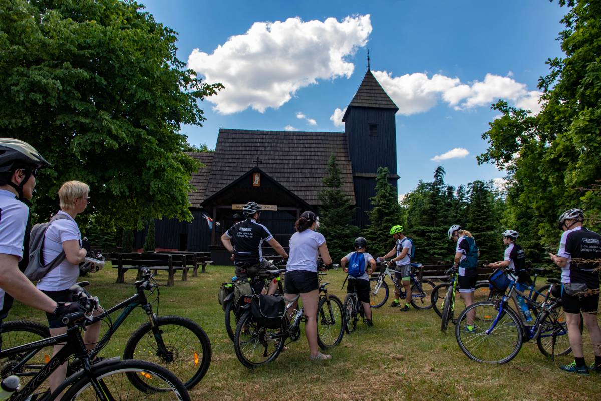
St. Giles Church in Chelstow.
(II) Grabowno Wielkie - Trzebnica (40.7 km): The second section is long and leads through the eastern part of the Trzebnica Hills, mostly on asphalt and few dirt roads with many climbs. On the way, it is worth noting the church in Łuczyn, the palaces in Rzędziszowice and Czachów, the Beech Forest in Trzebnica. In Cielętniki it is worth stopping at the Michlewicz Winery.
Route: Grabowno Wielkie - Bukowinka - Białe Błoto - Sadków - Łuczyna - Siekierowice - Rzędziszowice (neo-baroque palace from the 19th century) - Kopiec - Miłonowice. ) - Kopiec - Miłonowice - Cielętniki (Michlewicz vineyard) - Tarnowiec - Sucha Mała - Sędzice - Czachowo (Neo-Renaissance palace from the 19th/20th century) - Przełęcz Cicha (203 m) - Taczów Wielki - Brochocin (railway station) - Trzebnica (Beech Forest, St. Jadwiga Basilica).
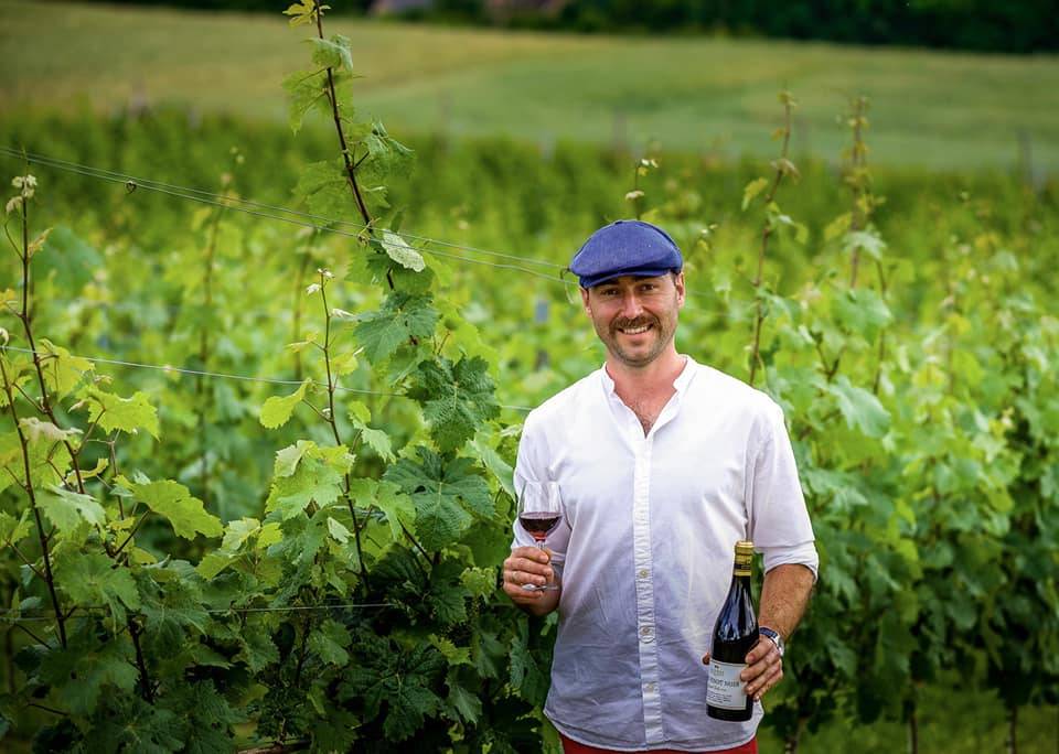
Owner of the Michlewicz Winery in Cielętniki, photo: private archive
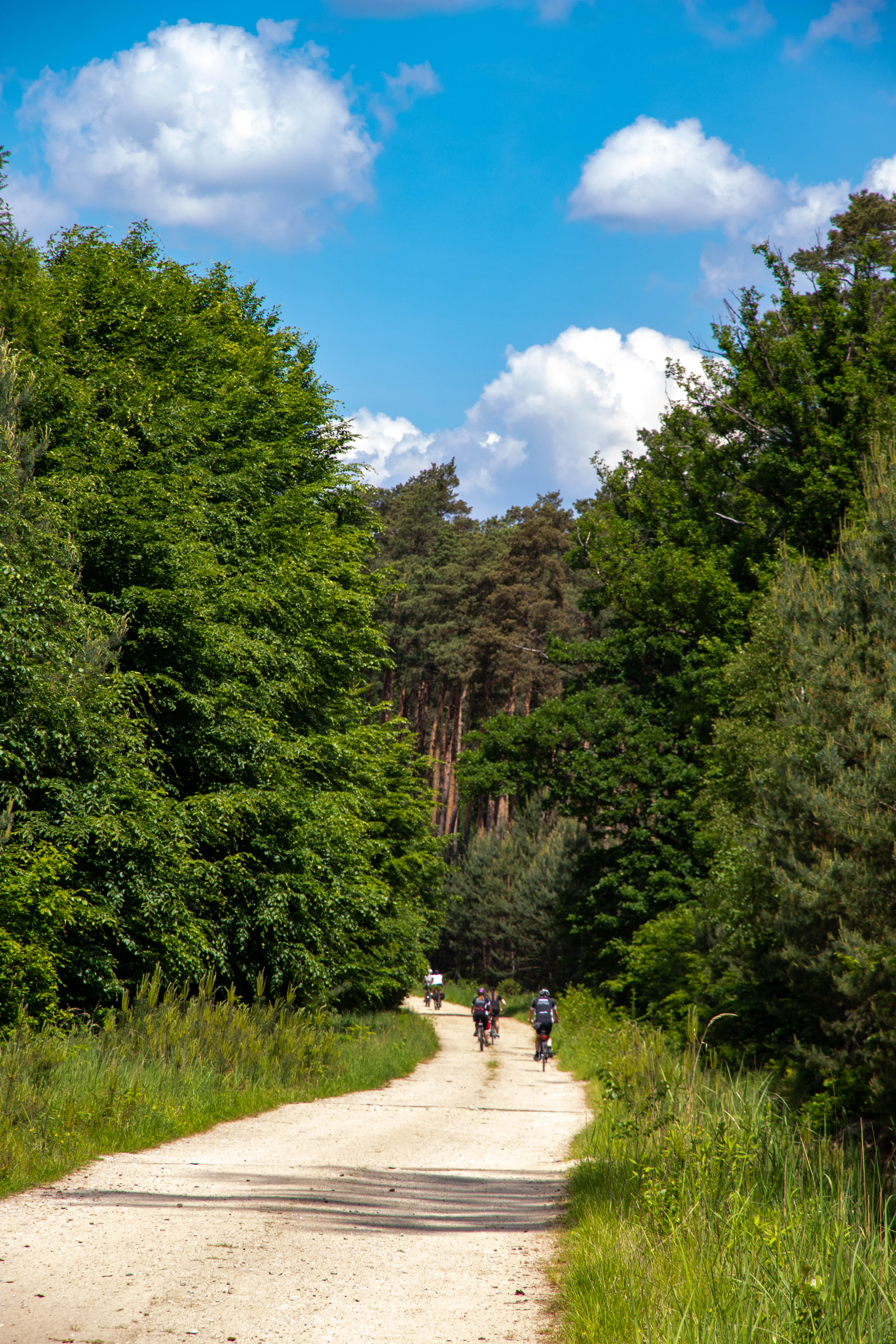
(III) Trzebnica - Oborniki Śląskie (18 km): The third section is the most mountainous, leading through the highest, central part of the Trzebnica Hills, crossing their ridges four times. This mostly uncovered terrain offers extensive views of the Żmigrodzka Basin and the Oder Valley. The most difficult section, especially after rainfall, is Piekary - Kuraszków. Along the way, in addition to the sights of Trzebnica and Oborniki Śląskie, the winery 55-100 in Rzepotowice and a restaurant with a stud farm in Kuraszków are worth seeing.
Route: Trzebnica (Basilica) - Farna Góra (257 m), the highest elevation of this section, beautiful views of the Trzebnica orchards - Farny Upłaz (vantage point of the Żmigródka Basin) - Malczów (historic manor park) - Rzepotowice (vast 19th century manor farm and Winnica 55-100 - a Cyclist Friendly Place) - Przecławice - Trójniak Pass (220 m) - Piekowiec - Piekutowice - the oldest in Poland. Piekary - Długa Hala (218 m) down the slope of Gnieździec Hill (226 m), known as the Paragliders' Hill - Kuraszków (Kuraszków Academy - hotel and restaurant in the spirit of slow food - a Cyclist-Friendly Place; the manor house now a youth hostel, Napoleonic oak) - Szarotka Pass (227 m) - Oborniki Śląskie (railway station).
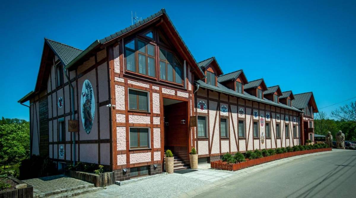
Akademia Kuraszków/ Kuraszkow Academy - hotel, restaurant, stud farm, photo: private archive
(IV) Oborniki Śląskie - Strupina (17 km) --> Skokowa (railway station): The last section of the Korona Kocich Góry trail leads through the western, wooded part of the Trzebnickie Hills. The trail loses its mountain character, climbs still occur, but are gentler. The route goes along the northern slope of the hills to Górowo, and finally rises to the edge of the Strupin Hills. On the way, it is worth stopping at Bagno (a vast palace complex with a park, the seat of the Salvatorians), the palace in Górowo and two churches in the former town, now a rose village - Strupin, where the trail ends. It is possible to get to Skokowa, where there is a railway station of Wrocław-Poznań relation.
Route: Oborniki Śląskie (spa town - Leśne - Osola (holiday village) - Osolin (holiday village) - Bagno (nearby a fortified settlement from the first half of the 18th century and a monument to Günther Kissling, the son of the palace owner who died in World War I) - Górowo (conical fortified settlement from the 12th-14th century; neglected palace built around 1800 for Adolf von Knobelsdorf). - Strupina (now a village, once a well-developed town with 903 inhabitants in 1861; badly damaged in 1945 when it lost its municipal rights).
Courtyard of the castle in Bagno
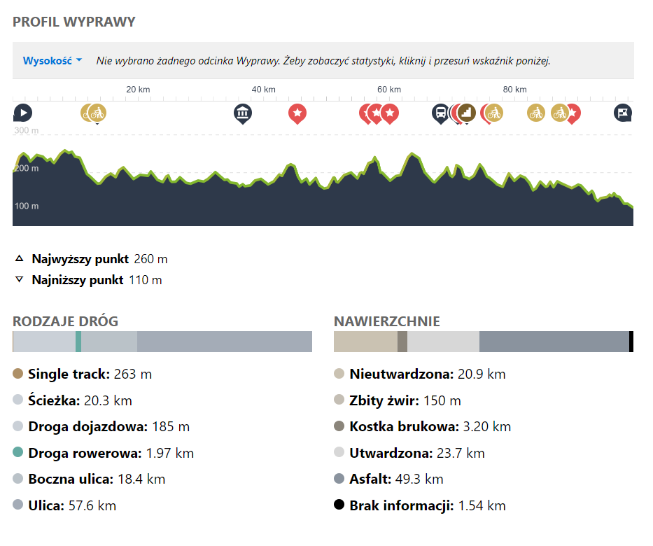
ELEVATION PROFILE OF THE ROUTE:
Want a GPX of the route? Download directly from under the map or contact us: biuro@dkr.travel.pl
Need help organising a group holiday? Contact us: biuro@dkr.travel.pl
If you are interested in helping us plan and prepare your group's stay and in being accompanied by a local guide who will tell you about the region's assets and take you to the most interesting places, please contact us. (Paid offer, we will provide an offer after a no-obligation e-mail contact). We provide certified guides, available during the week and at weekends, who also speak English or German.
Download the free
app for
smartphones