Birdwatching house at the pond Gadzinowy in Dyminy
Nowy Zamek
The route starts at the recreational reservoir in Milicz (Kolejowa Street). It is a convenient place for a pick-up; you can also get there by car, which we will leave safely in a monitored and secure car park; it is also close from the railway station.
The proposal for the tour was created as part of cooperation between Cycling Friendly Places during the Cooperation Exchange organised by the Lower Silesian Cycling Land thanks to a grant received from the Ministry of Sport and Tourism.
Route:
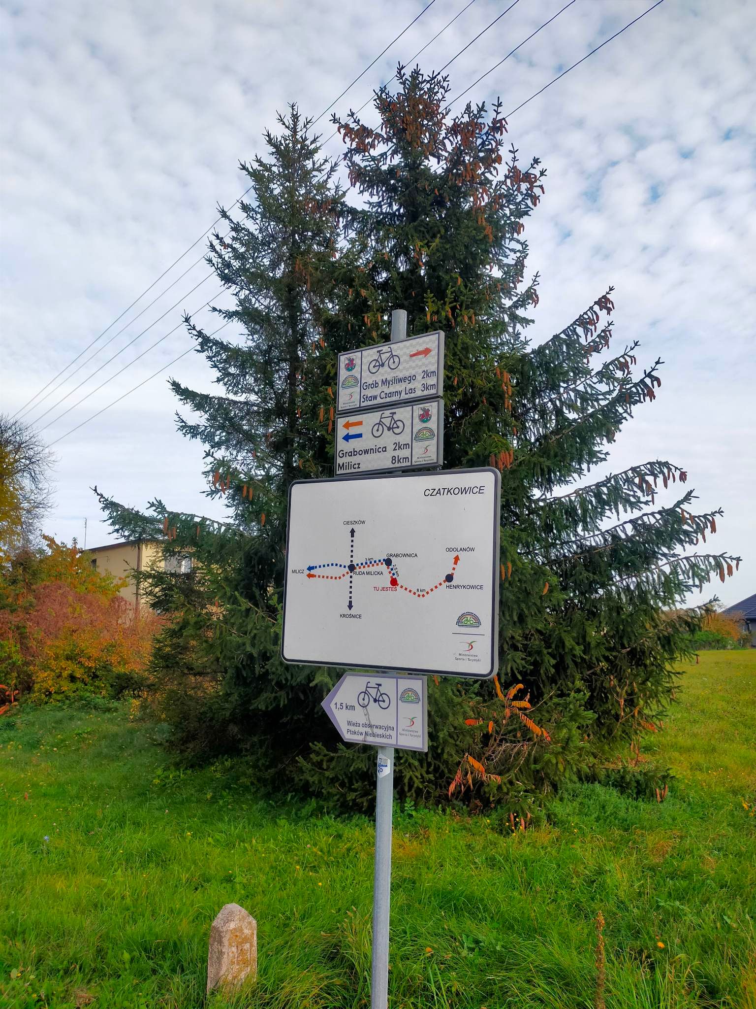
Milicz – Duchowo - Niesułowice – Czatkowice – Grabownica – Dyminy – Nowy Zamek – Średzina – Nowe Grodzisko – Stawno – Ruda Milicka – Milicz
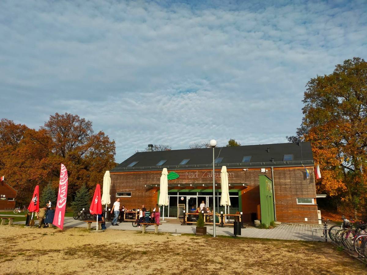
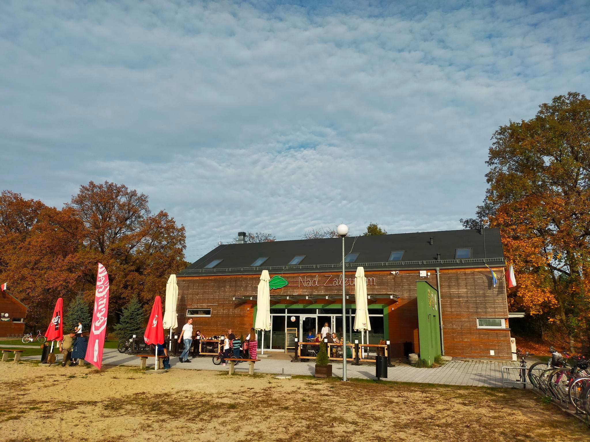
Restaurant on the lagoon in Milicz
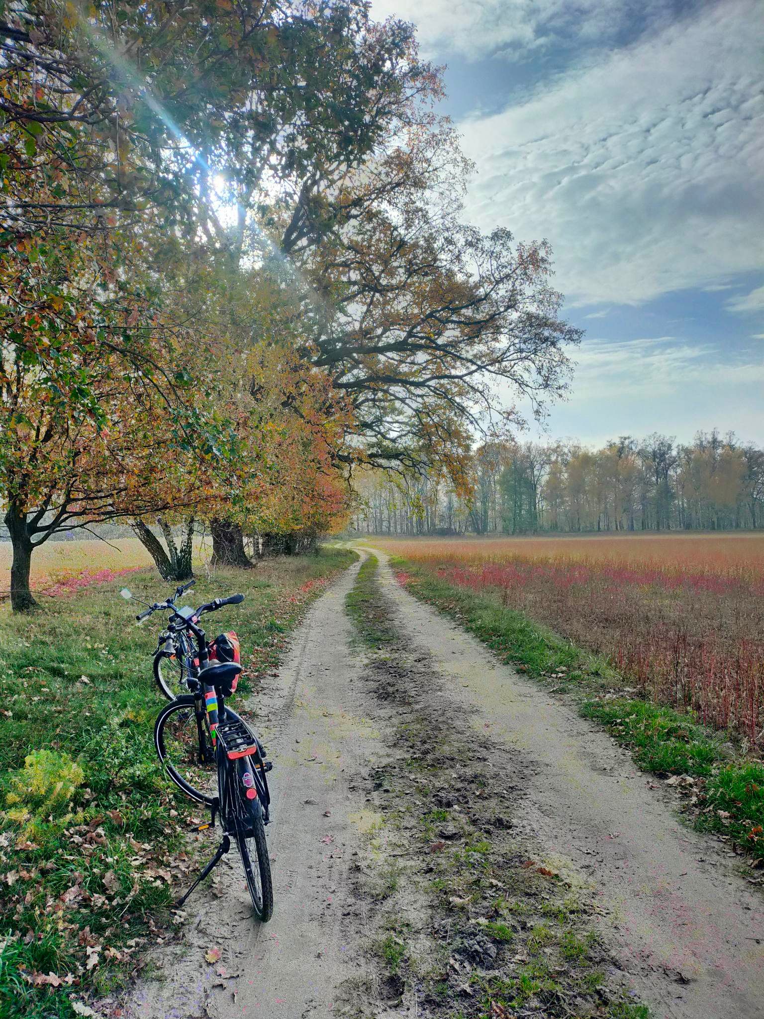
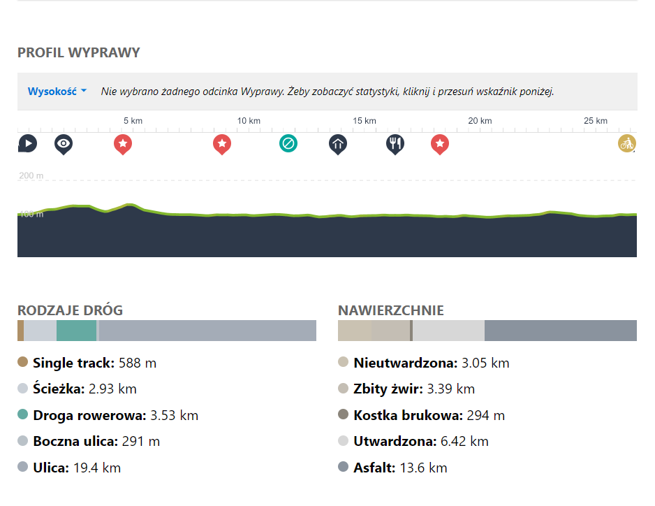
Route length: 27 km. The following surface types are present: asphalt, gravel, Bauma stone, dirt road. Half of the route is public road with moderate motor traffic, the others are forest trails or dedicated cycle tracks, including the cycle track on the former narrow-gauge railway of Ryszard Szurkowski (section Grabownica - Dyminy, Ruda Milicka - Milicz).
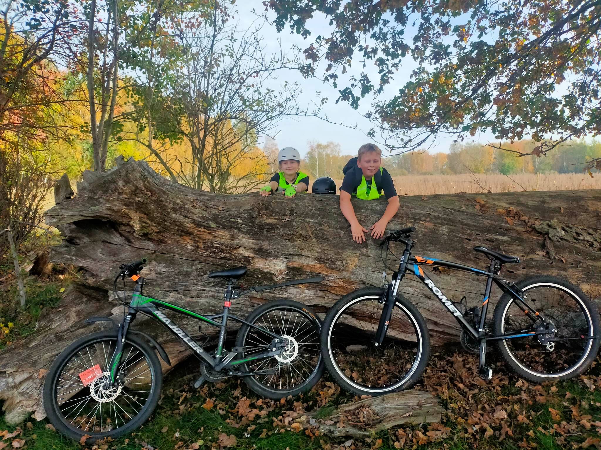
Difficulty of the route: Easy route, no steep climbs, requires good fitness due to its length. No special skills required. Ideal for a family trip.
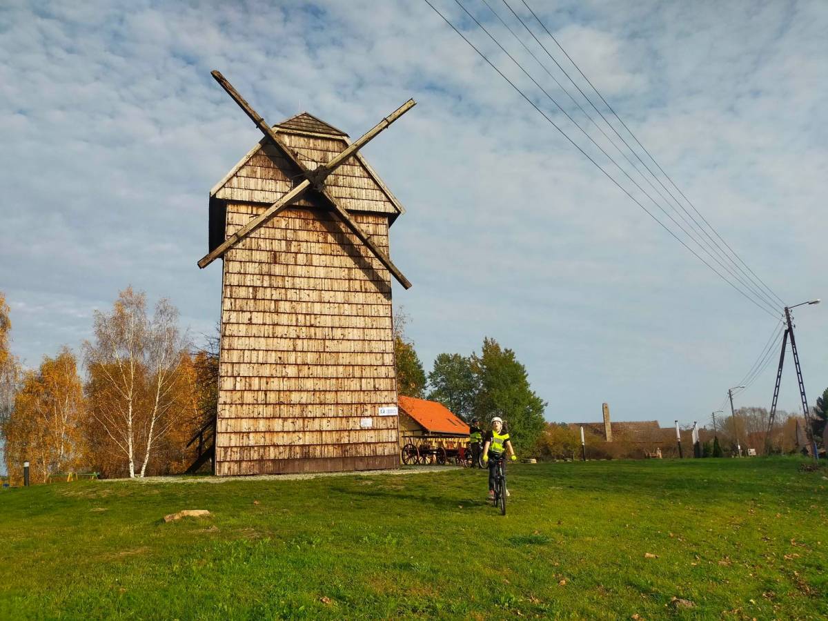
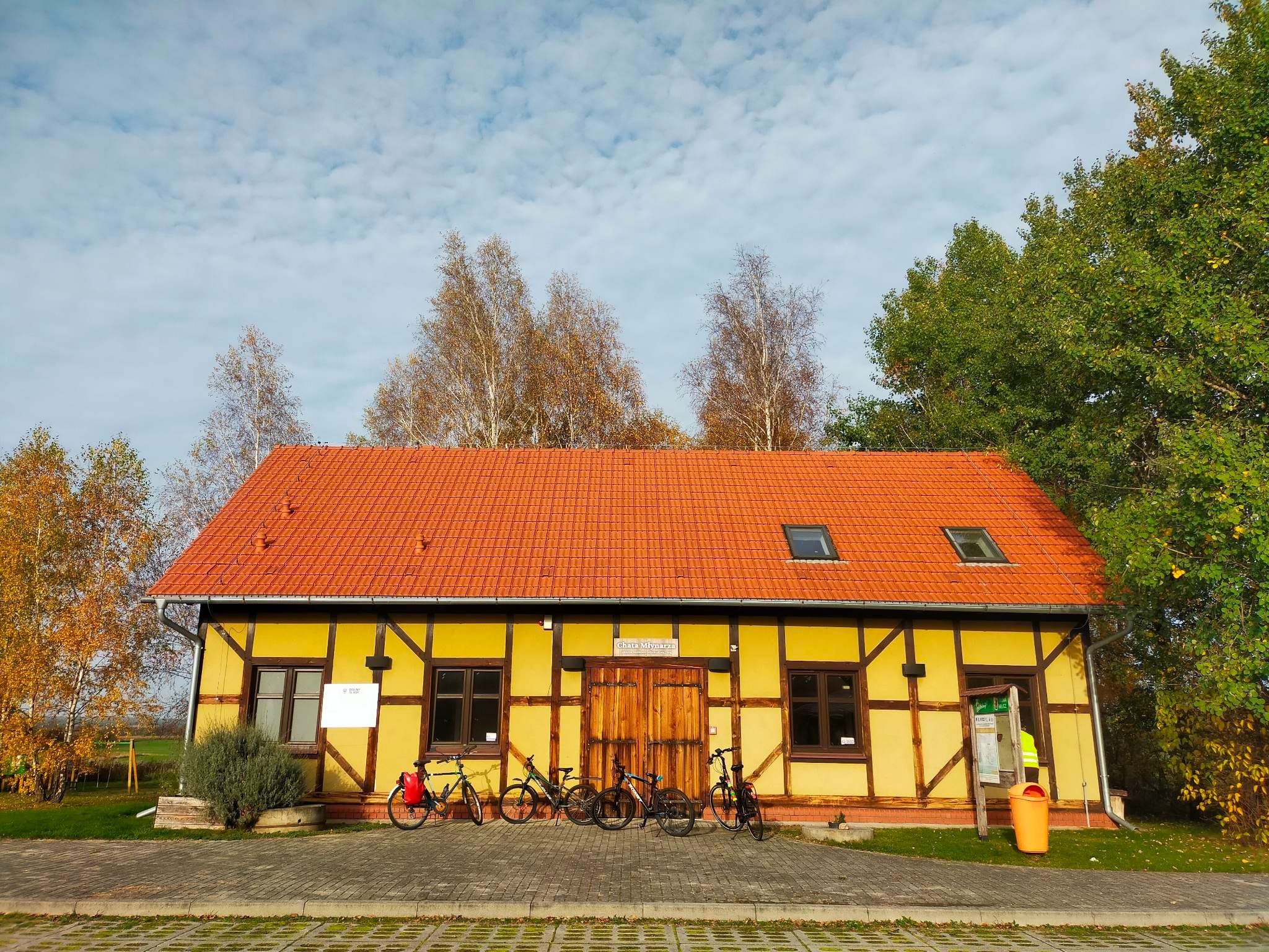
Windmill Bronislaw in Duchowo.
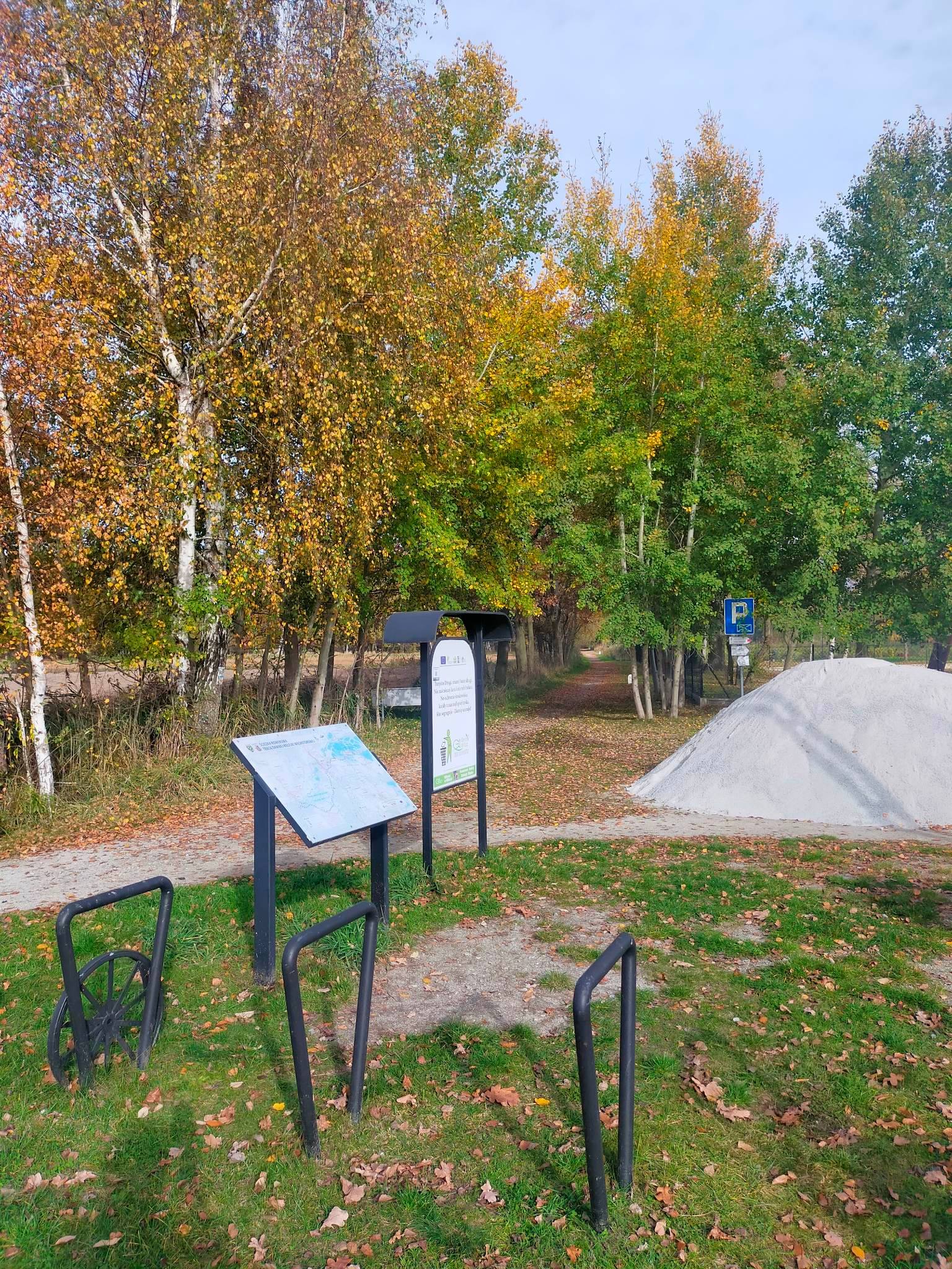
Public and free of charge stopping/resting places on the route:
Milicz - recreational lagoon, car park and restaurant "Nad Zalewem"
Duchowo - car park by the Bronislaw mill and the miller's cottage
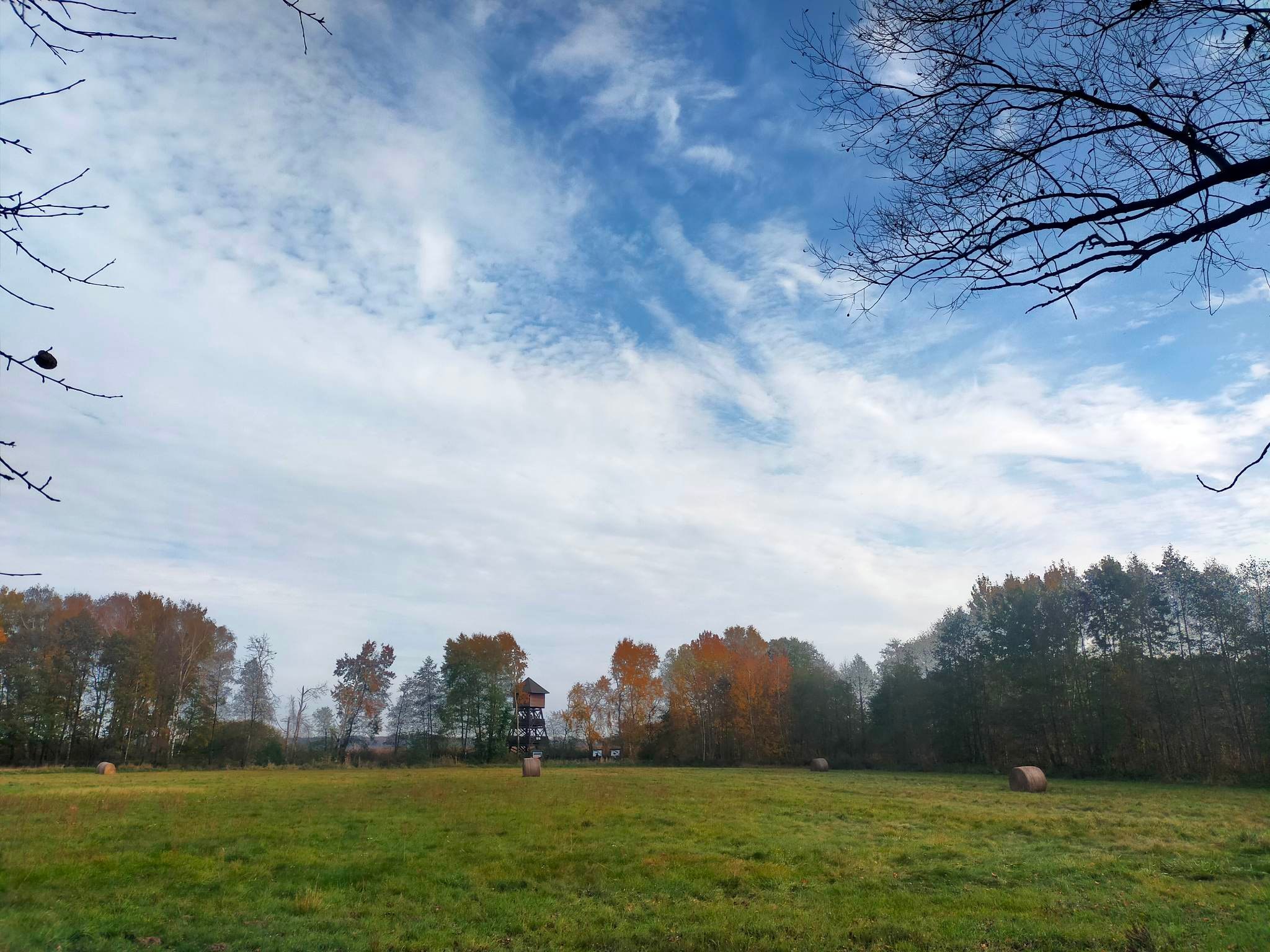
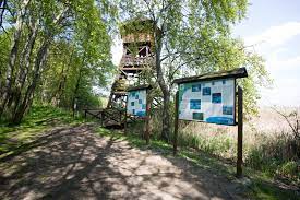
Grabownica by the observation tower
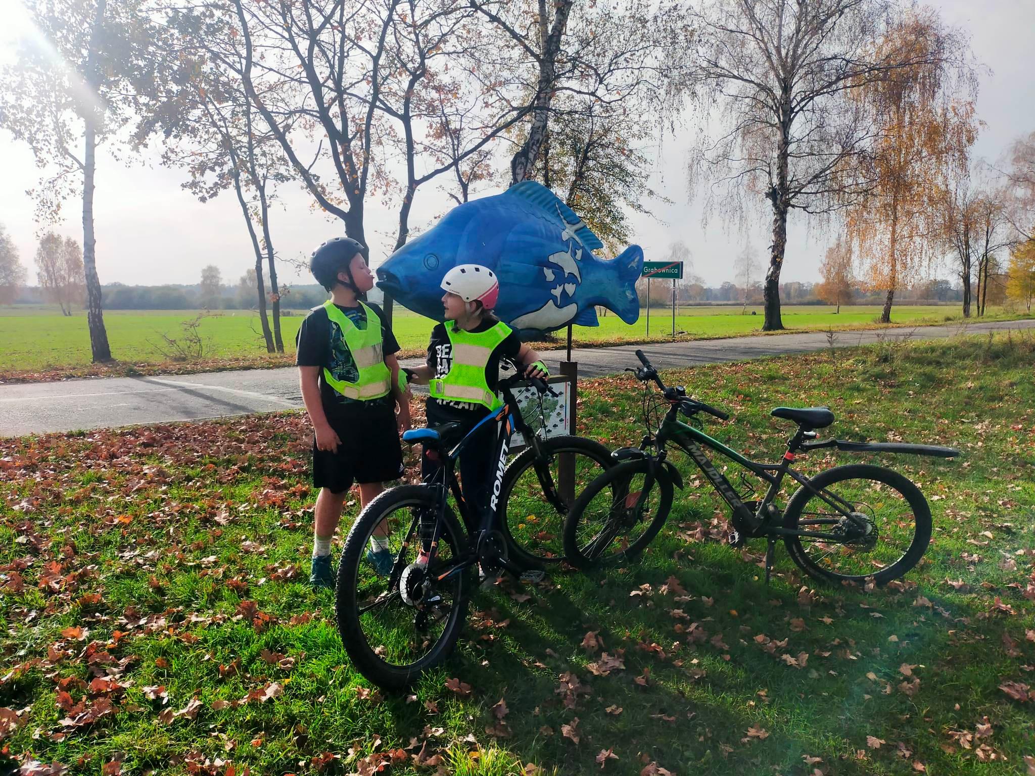
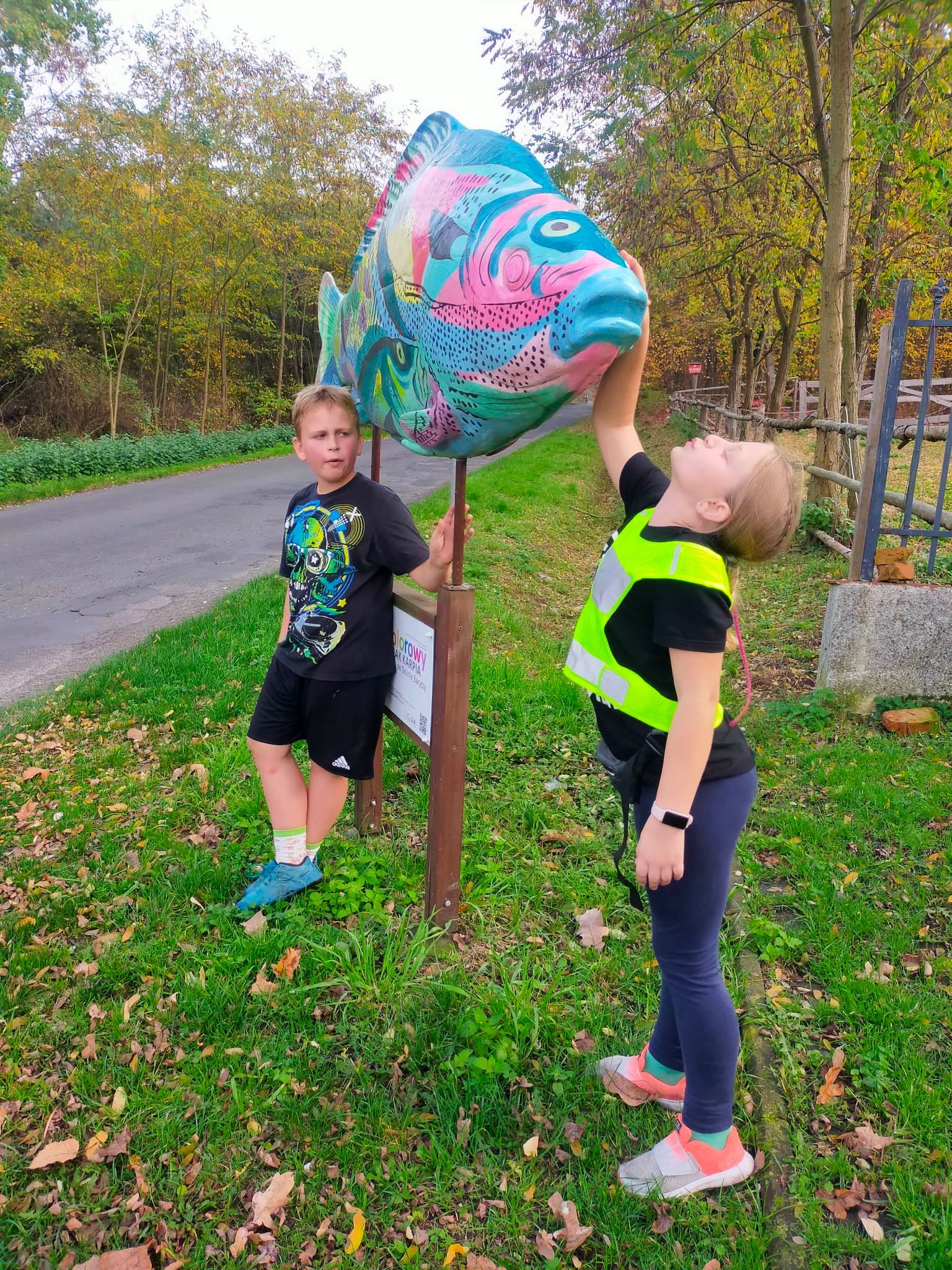
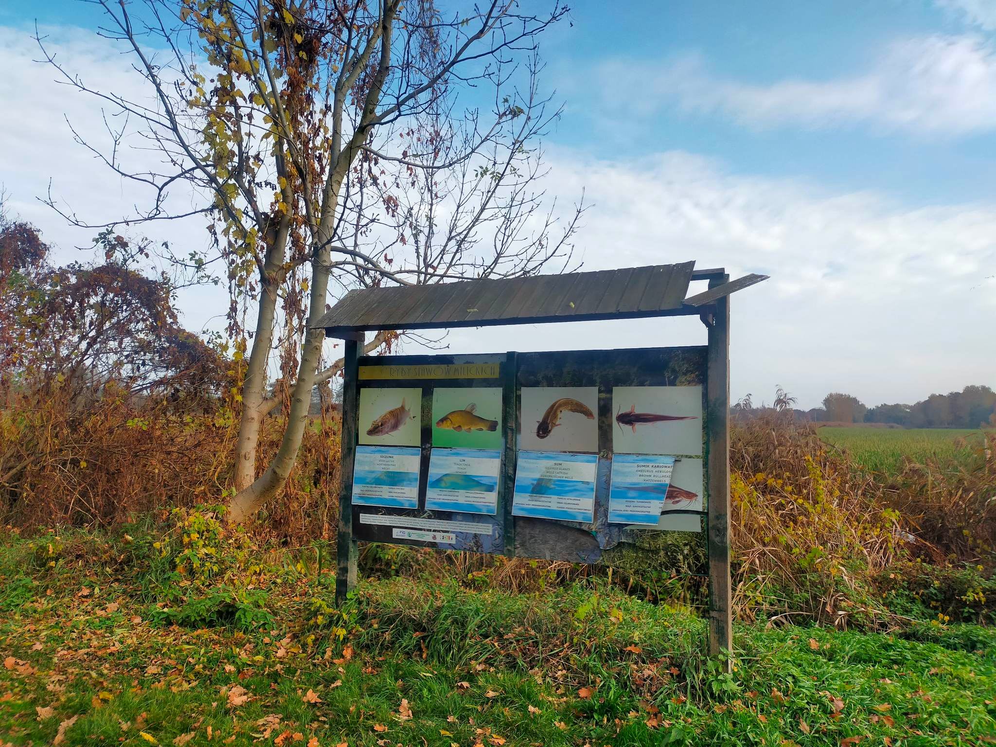
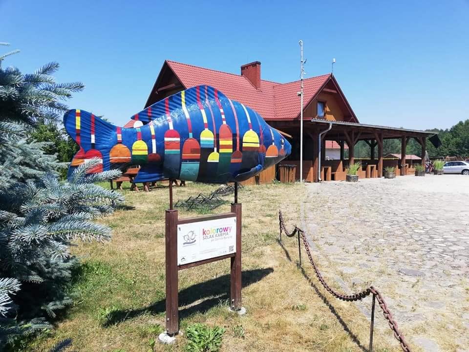
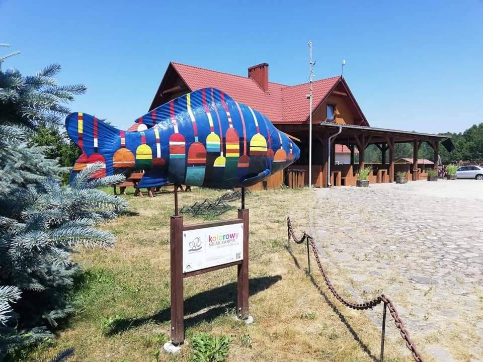
Grabownica by the colourful carp
Nowe Grodzisko / rast place
Ruda Milicka village square
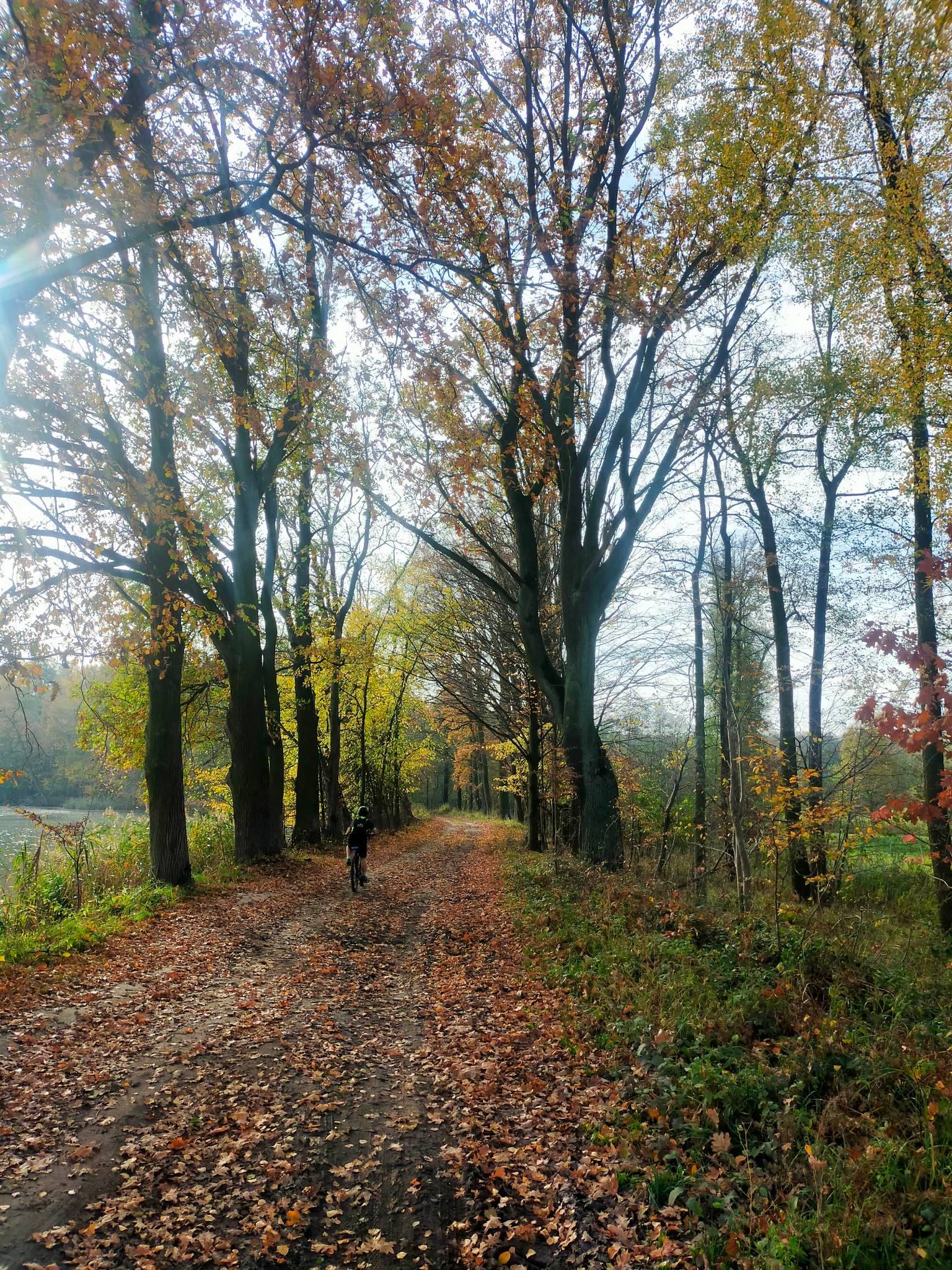
Stops along the narrow-gauge cycle route
A statue of a colourful carp near Grabownica, along the cycle path along the route of the former narrow-gauge railway.
WHAT IS WORTH SEEING?
Milicz - recreational lagoon
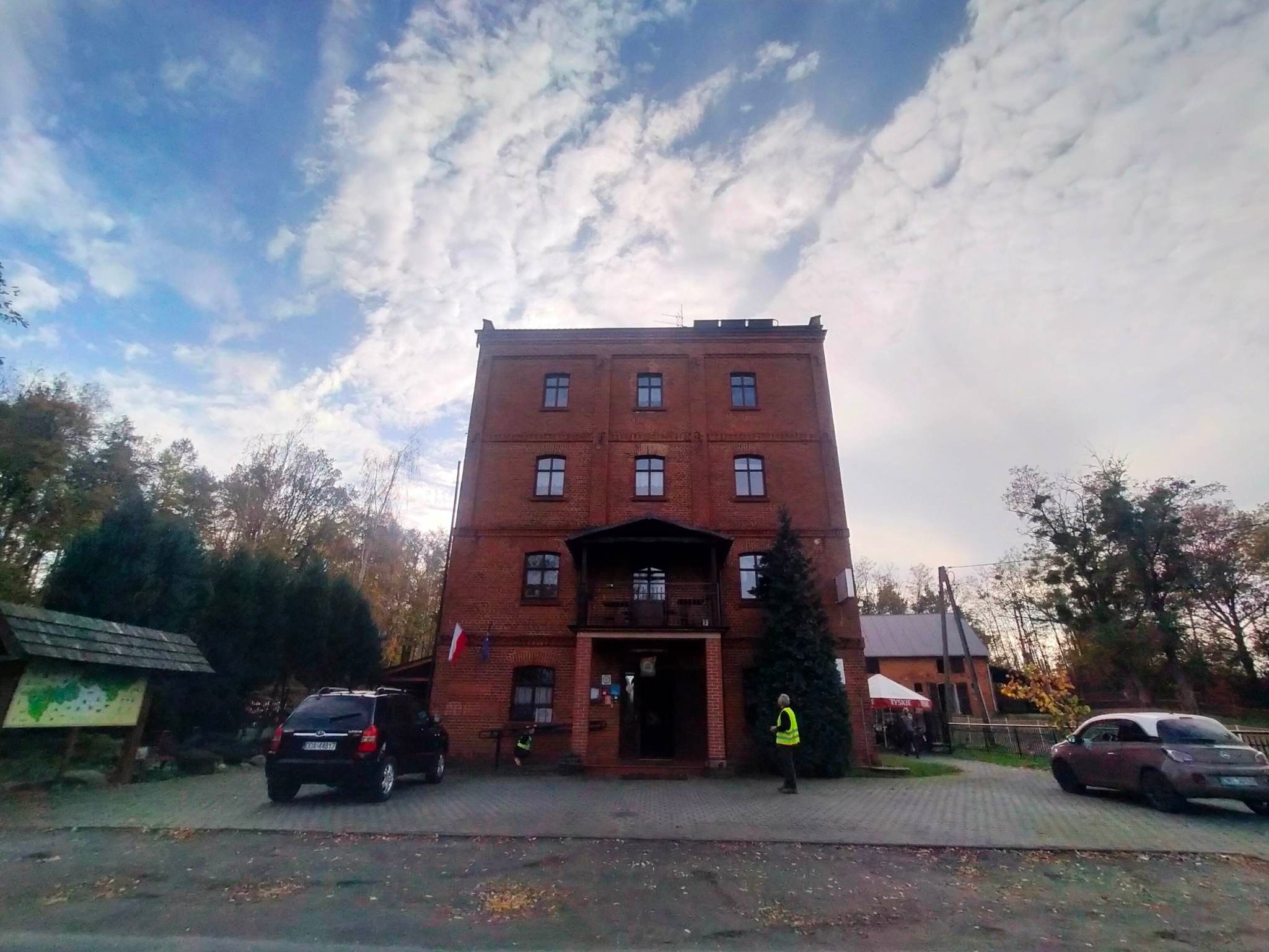
Duchowo - Bronisław Windmill, Miller's Cottage (can be visited by prior telephone arrangement)
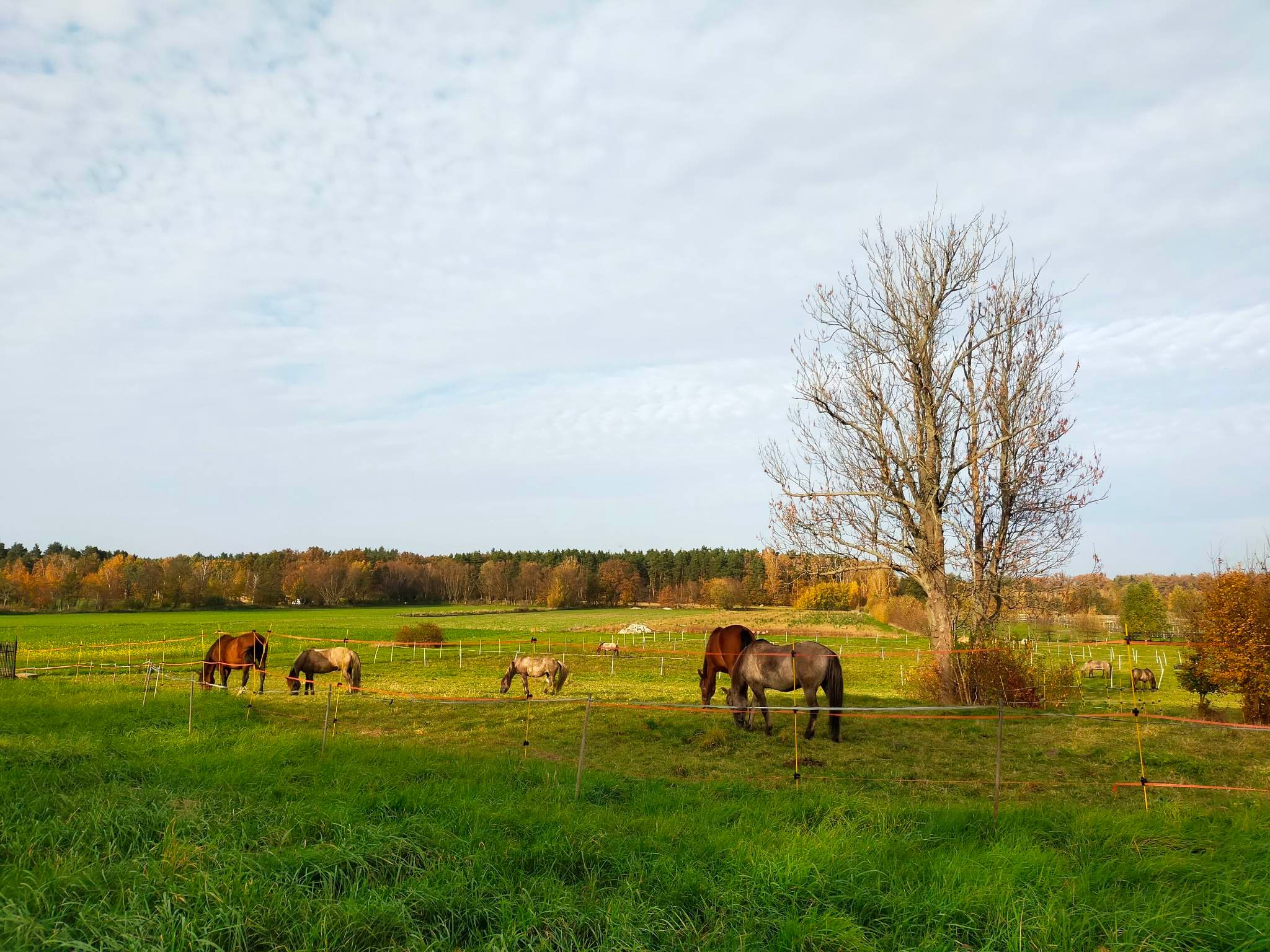
Niesułowice - Maciej's Ranch (horses and carriages)
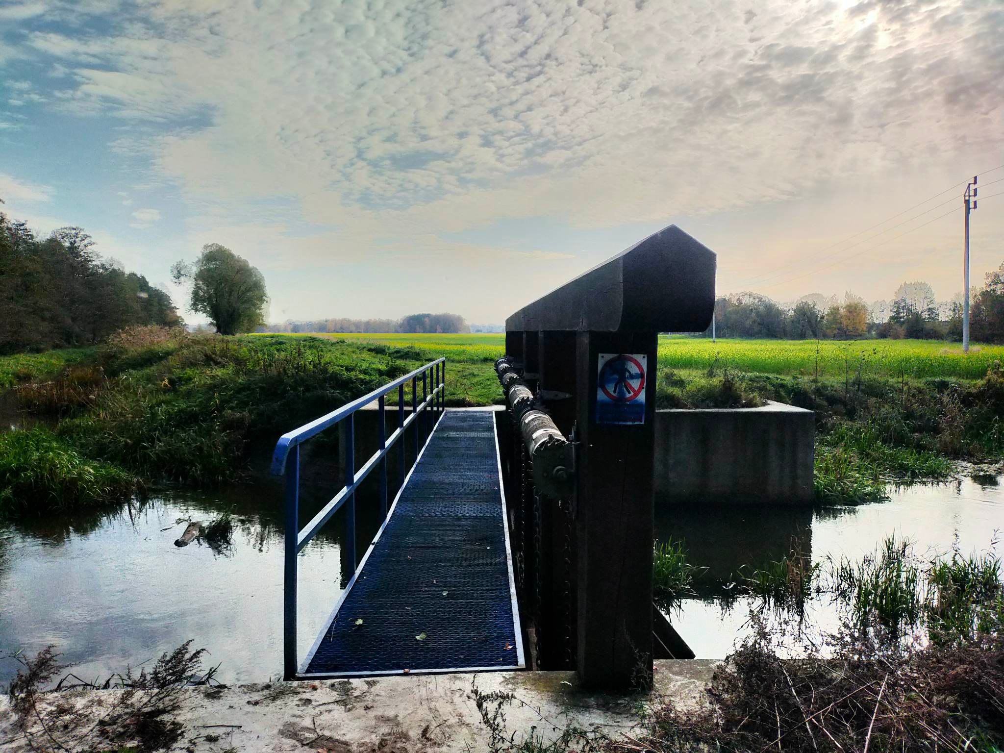
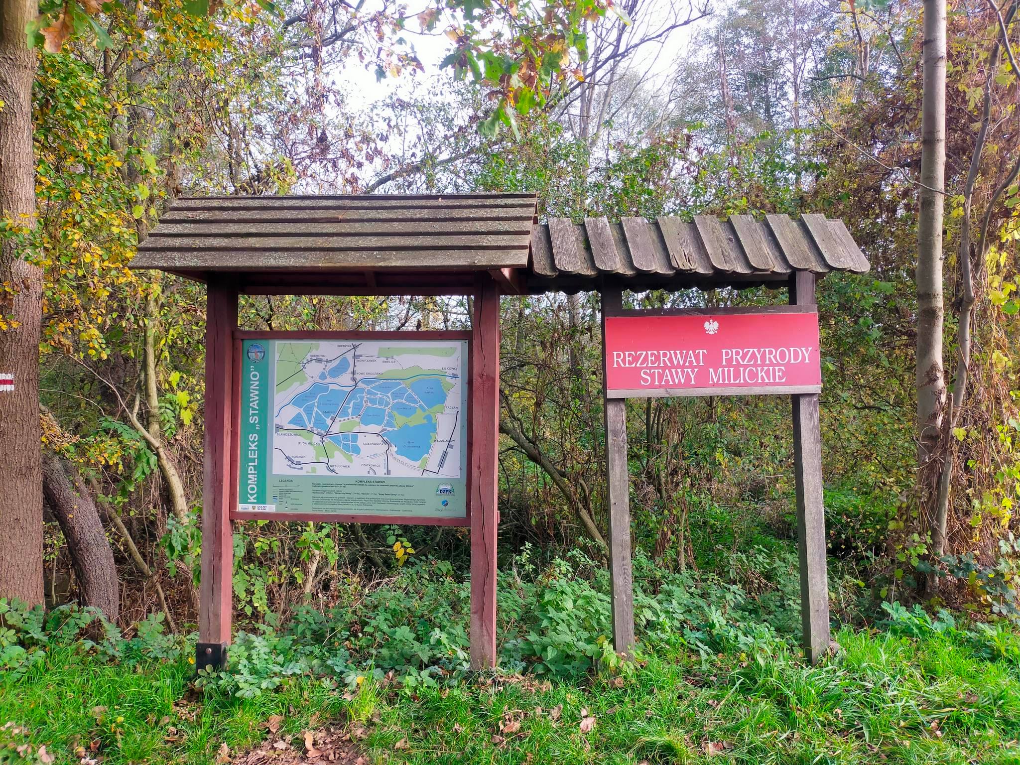
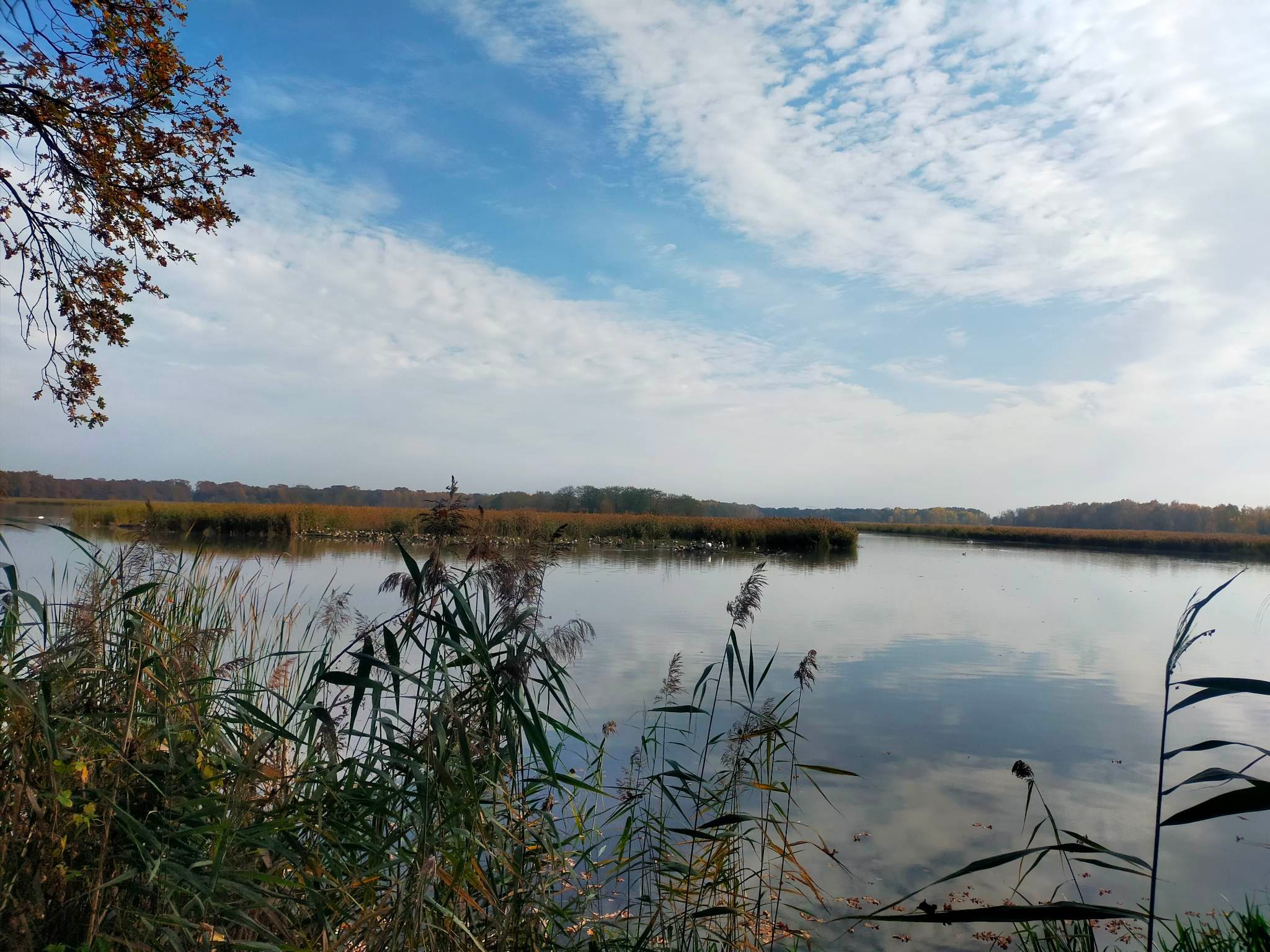
Grabownica - viewing tower of bluebirds over the Grabownica pond, historical hydrotechnical structures (weirs damming up water)
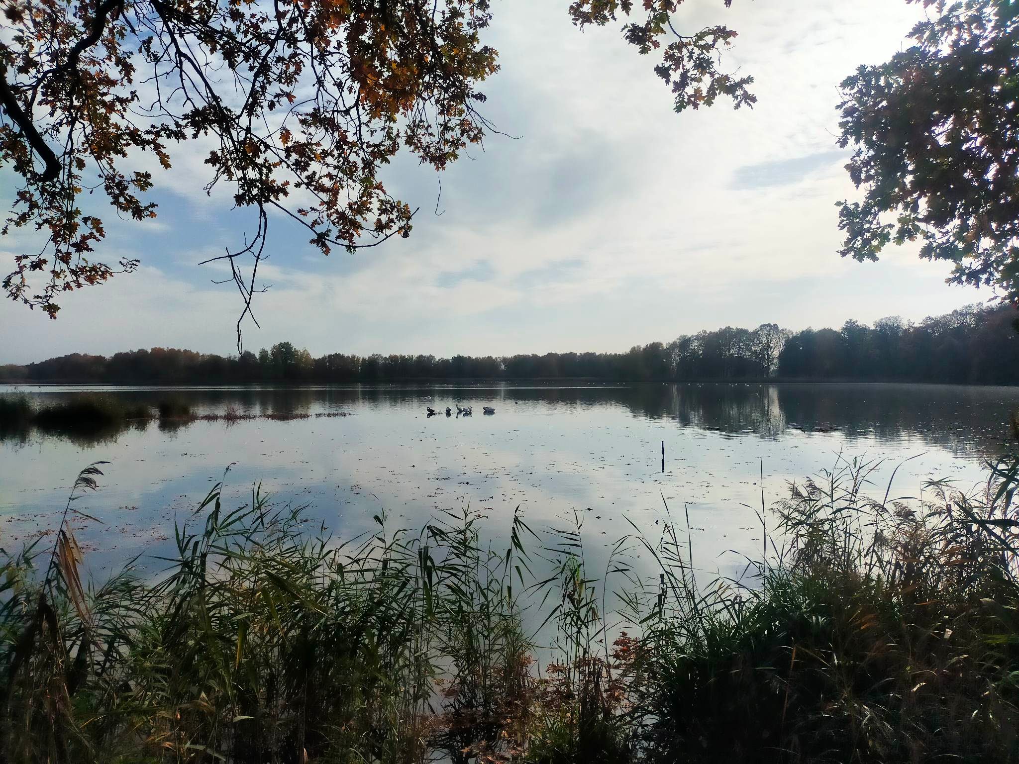
Pond landscape
Chat room at the Godnowiec pond
Dike on the Sunny Pond with bird observation point
Stawno (large carp statue)
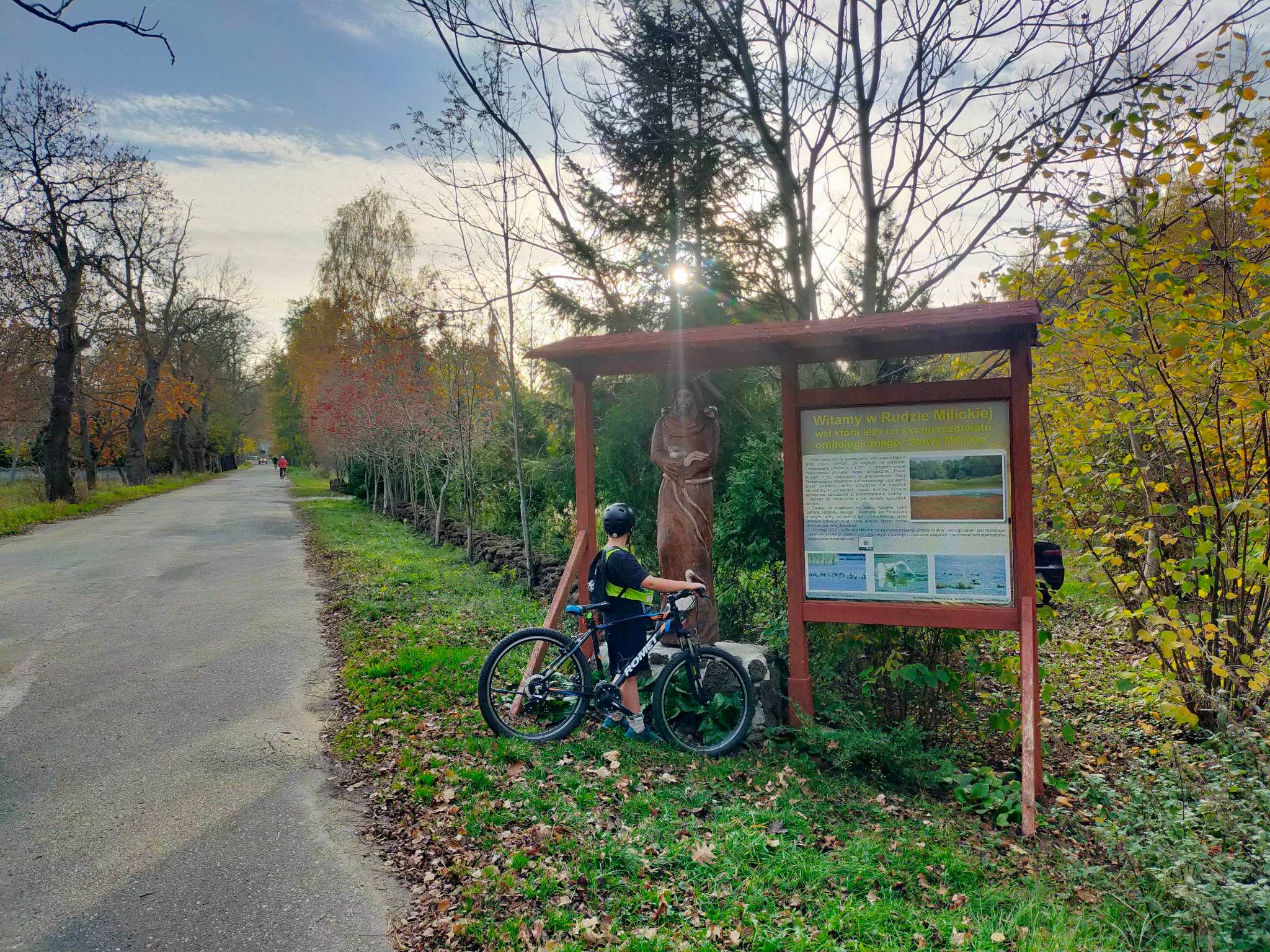
Ruda Milicka - welcome sign with St. Francis, patron saint of ecologists and wild animals and birds
Houses with bird signs in Ruda Milicka
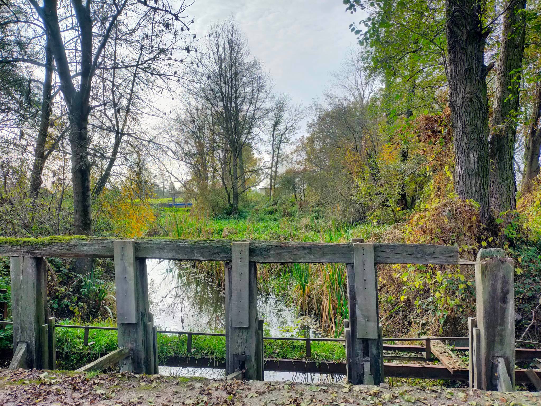
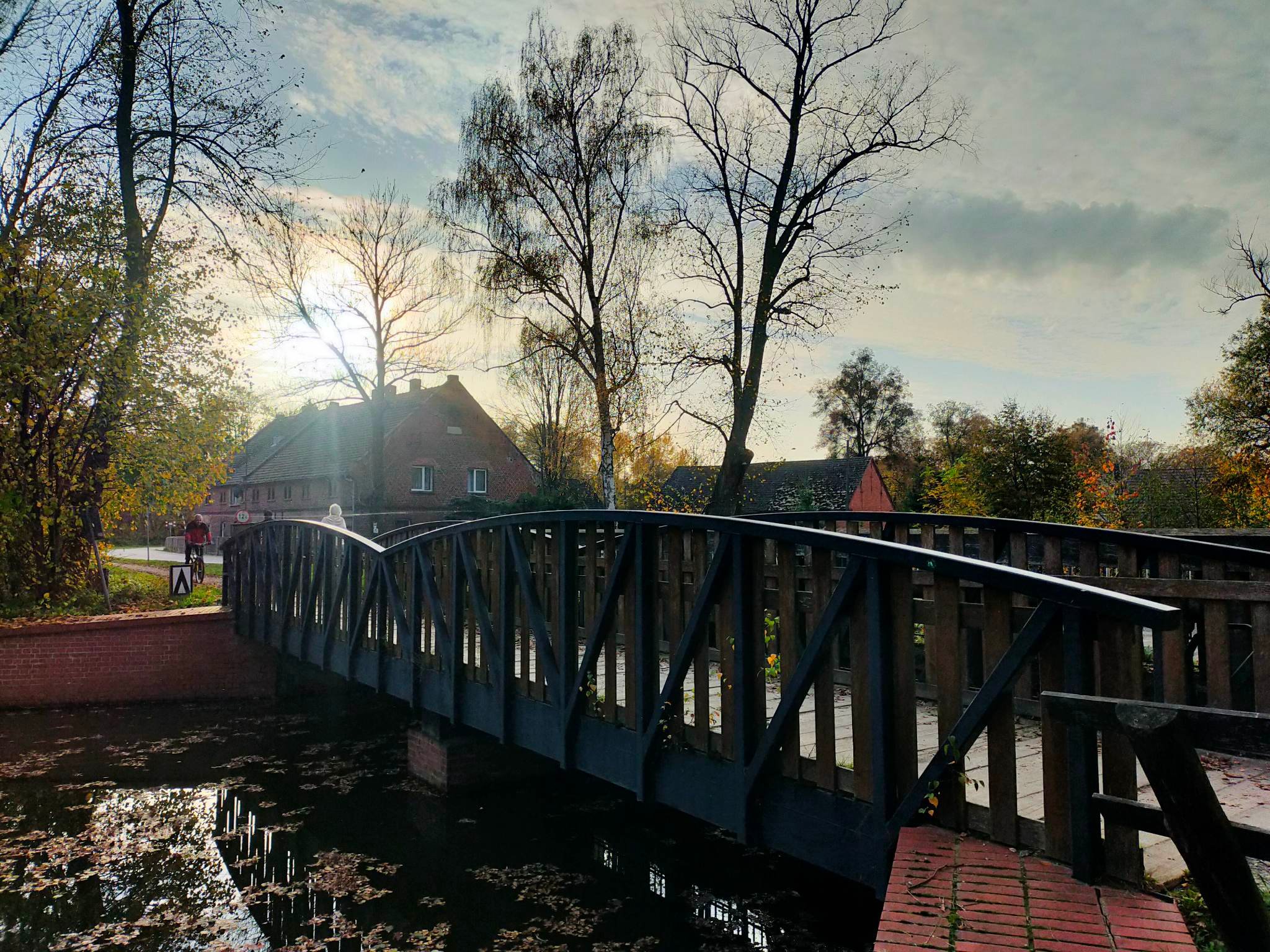
Wooden weir on the River Prądnia - Ruda Milicka
Old Forester House in Ruda Milicka
Cycling route along the narrow-gauge railway
Colourful carp on the lagoon
WHERE TO EAT? WE RECOMMEND CYCLIST-FRIENDLY PLACES!
Colourful carp in front of the "U Bartka" Inn
Length of the trip: at a pace of 15-18 km/h it is about 1.5 h. However, driving in a group, with children, including stops, time for rest, meals, sightseeing, etc., you should assume about 5 hours.
The proposed trip is a day trip. However, it is possible to plan a longer stay, an overnight stay in the surrounding area and a cycling stay of several days.
ELEVATION PROFILE OF THE ROUTE:
Do you want a GPX of the route? Contact us: biuro@dkr.travel.pl
Need help organising a group holiday? Contact us: biuro@dkr.travel.pl
If you are interested in helping us plan and prepare your group's stay and in being accompanied by a local guide who will tell you about the region's assets and take you to the most interesting places, please contact us. (Paid offer, we will provide an offer after a no-obligation e-mail contact). We provide certified guides, available during the week and at weekends, who also speak English or German.
Photos from the route: Lower Silesian Cycling Land
Download the free
app for
smartphones