Natural fruit juices by Dziekan
Krośnice
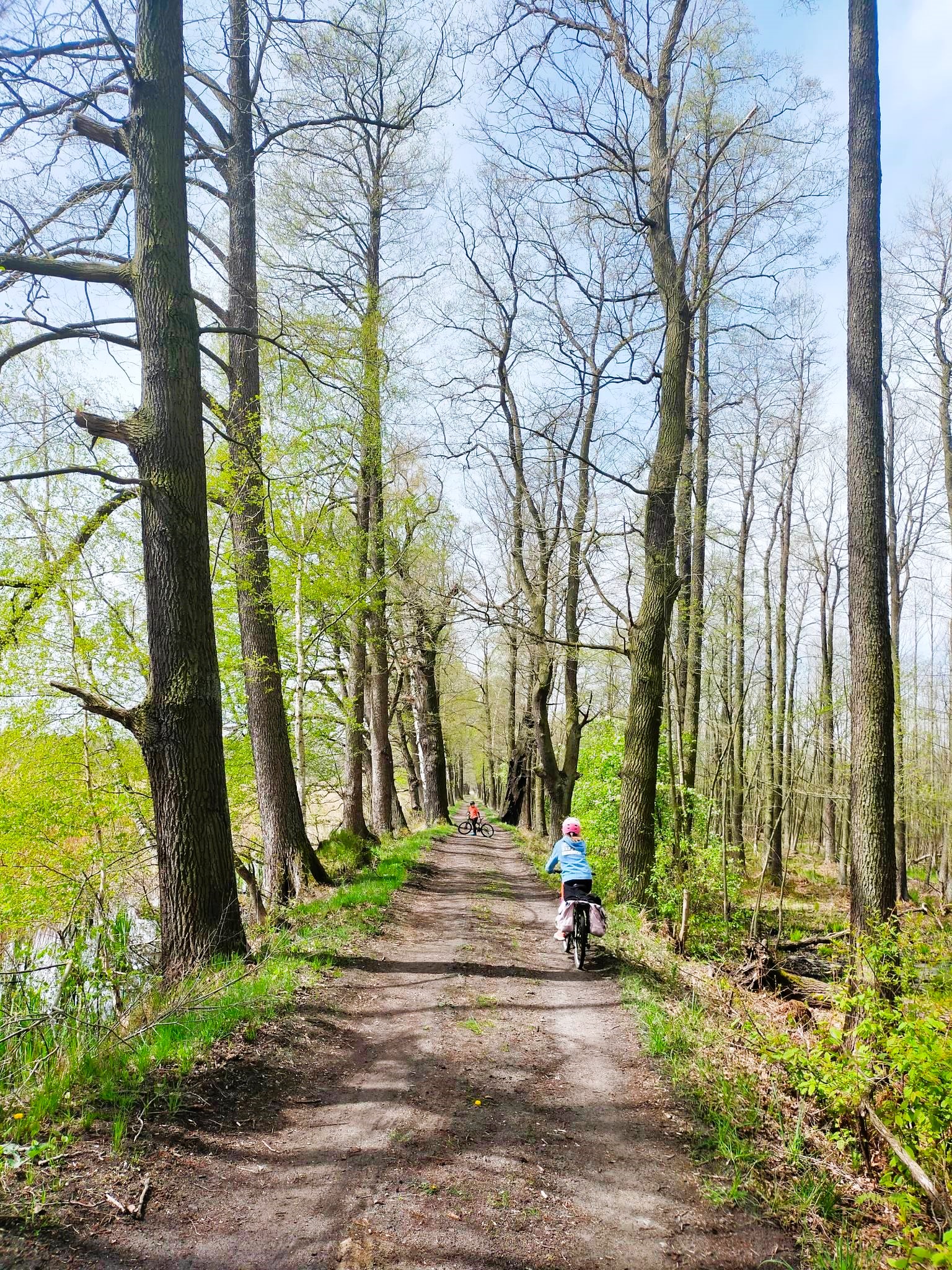
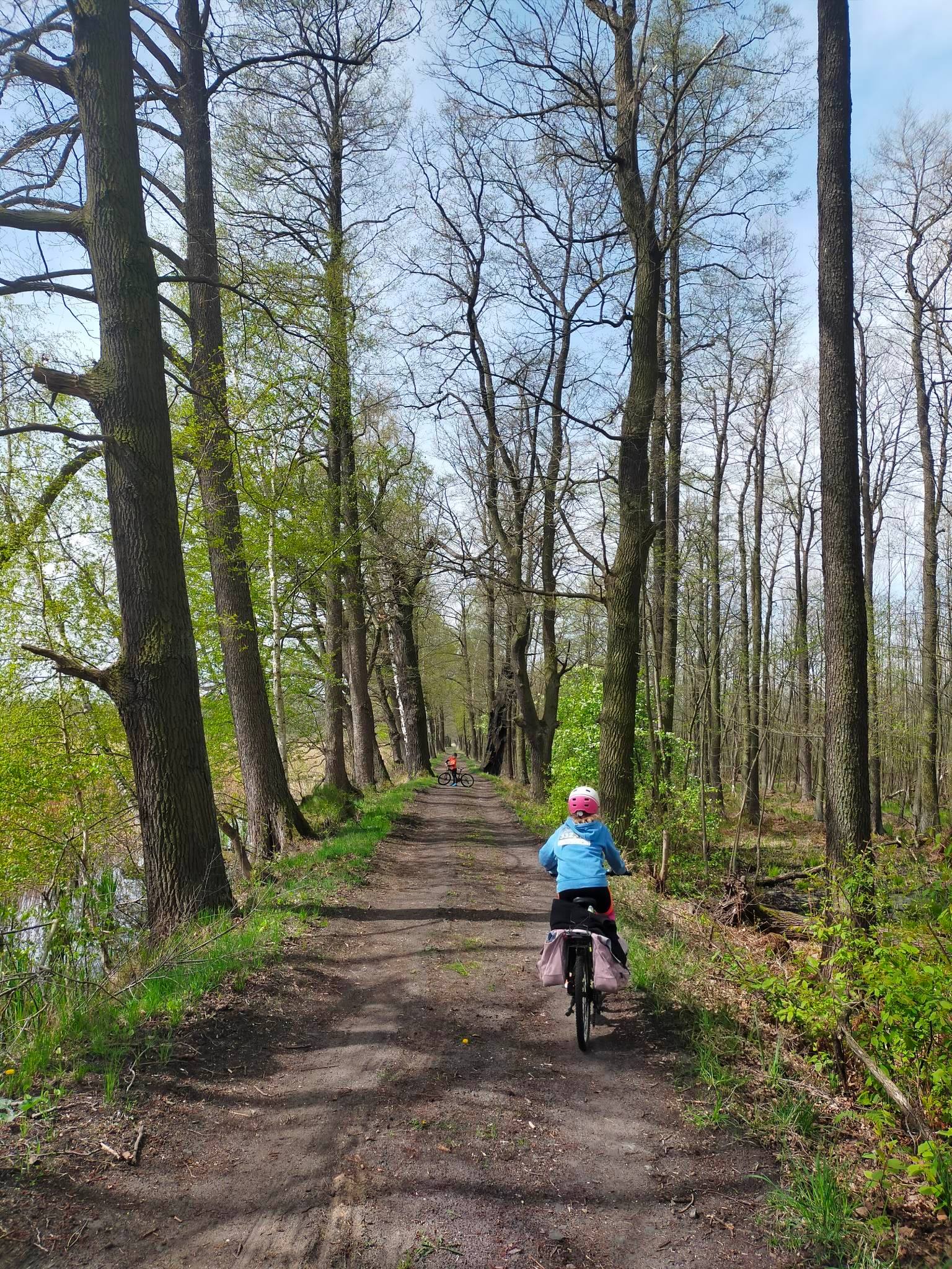
The proposed route follows a unique nature trail along the Krosnice ponds. It has the form of a 9 km long loop. We encourage you to get to Krosnice by bike, by train (we start this route at the railway station) or by car (we recommend parking at the Krosnicka Narrow Gauge Railway). The route is easy, flat and exceptionally charming, ideal for a family trip with a picnic. It leads mainly along the dykes of 11 ponds belonging to the complex of the Fisheries Plant in Krośnice, which belongs to Stawy Milickie SA. These are breeding concessions, so you can only go along a marked path agreed with the aforementioned land manager.
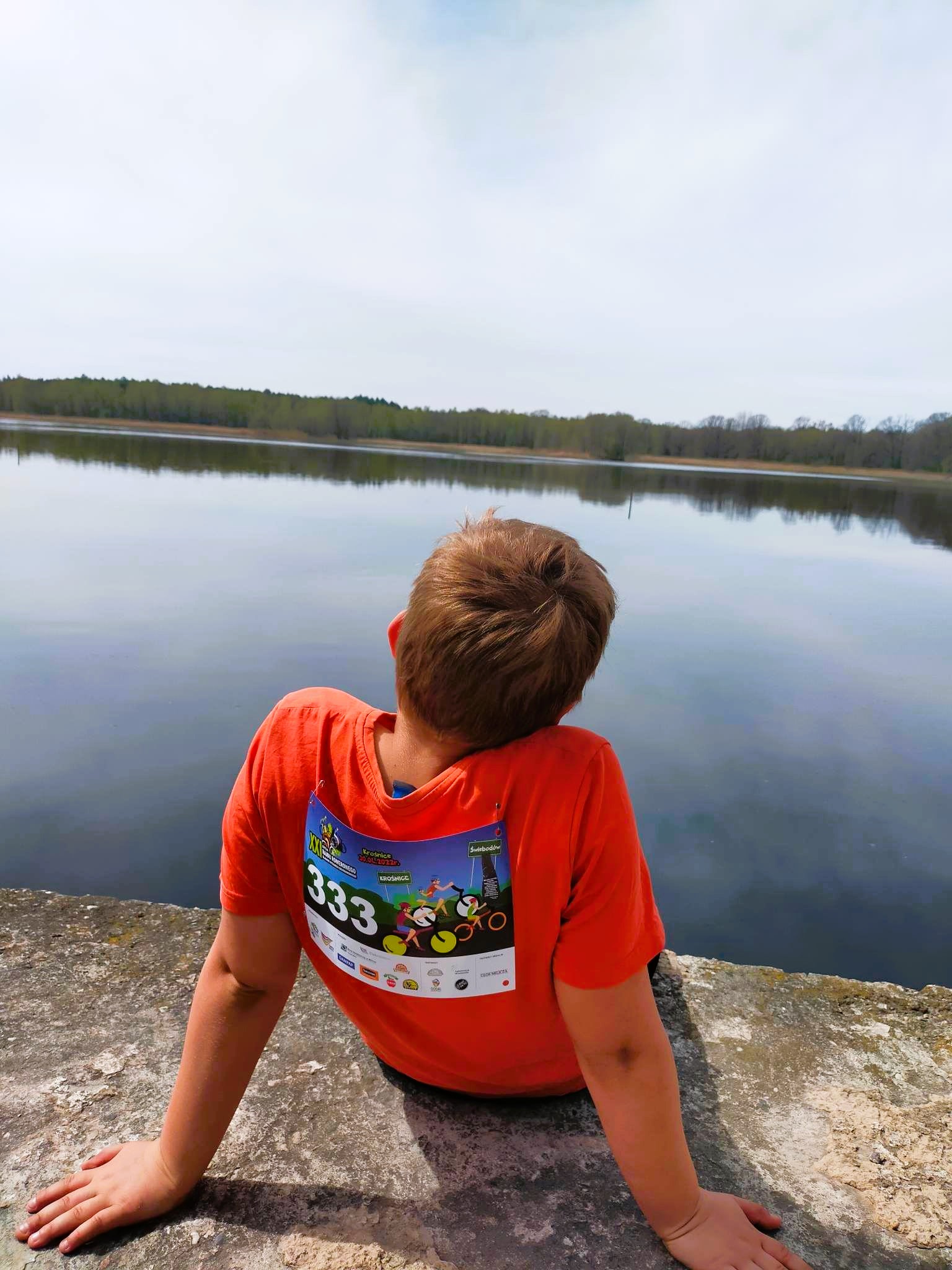
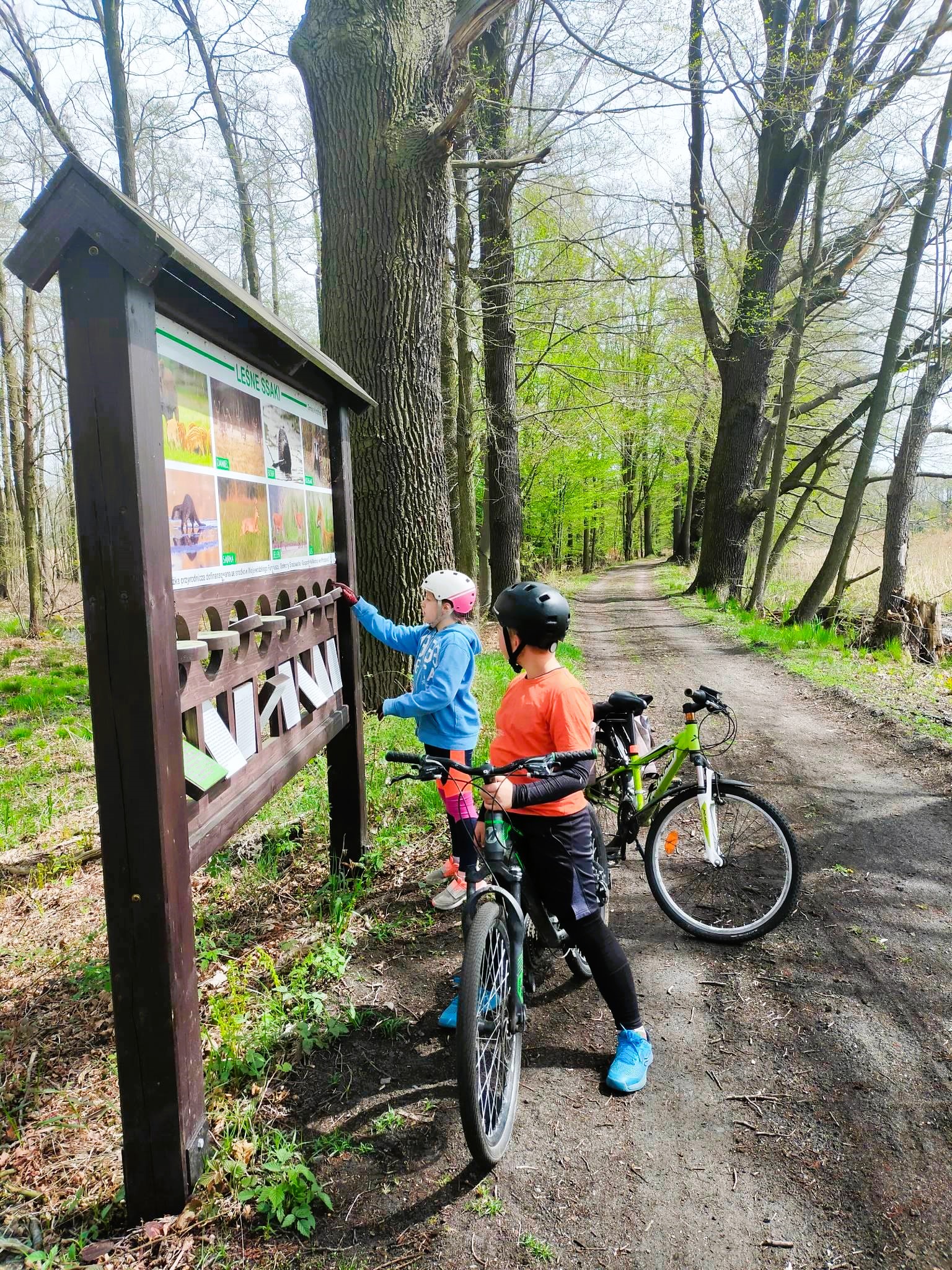
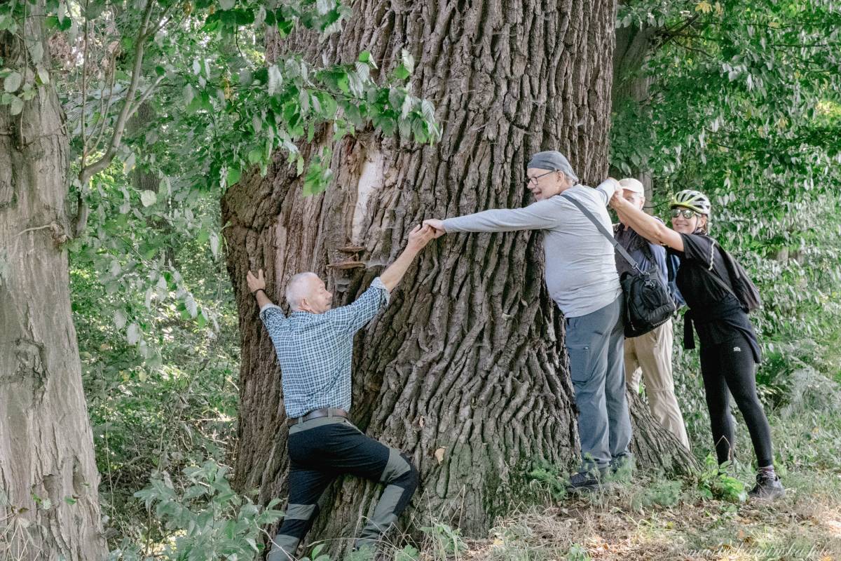
The trail can be travelled on foot or by bicycle in organised groups under the supervision of a guide. It is marked with white 10x10 cm squares painted on tree trunks, with a green diagonal band. Twice a year, during the Szurkowski's Traces of Ryszard Szurkowski cycling rally, a family rally route runs along the path. We recommend it to lovers of nature, especially birds and century-old trees. There are many centuries-old oak trees along the route.
The route of the nature trail leads along pond dykes overgrown with century-old trees.
Access to the nature trail is about 1.5 km by a partially paved road, leading from Kolejowa Street in Krosnice (near the railway station). A black-marked cycle trail leads along it.
At the end of Kolejowa Street, there are noteworthy 19th century houses made of ore. This is practically the only visible remnant today of a smelting plant which smelted iron from ore occurring shallowly beneath the turf, usually in granular form, formed under conditions of constant moisture. The existence of the smelting works was inextricably linked to the ponds, as it was the sites of ore extraction that became the location for the establishment of the water reservoirs.
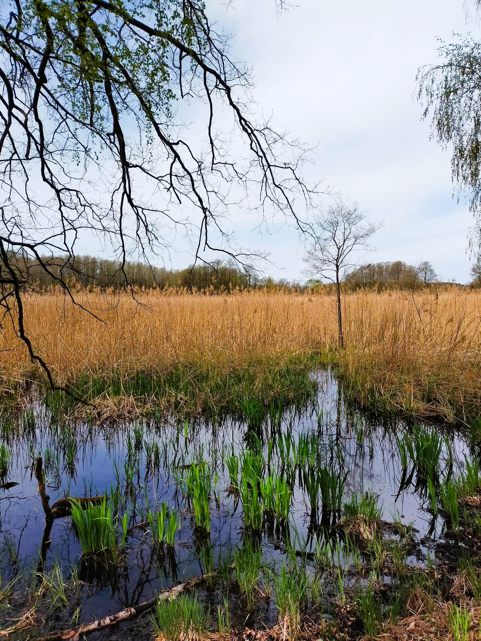
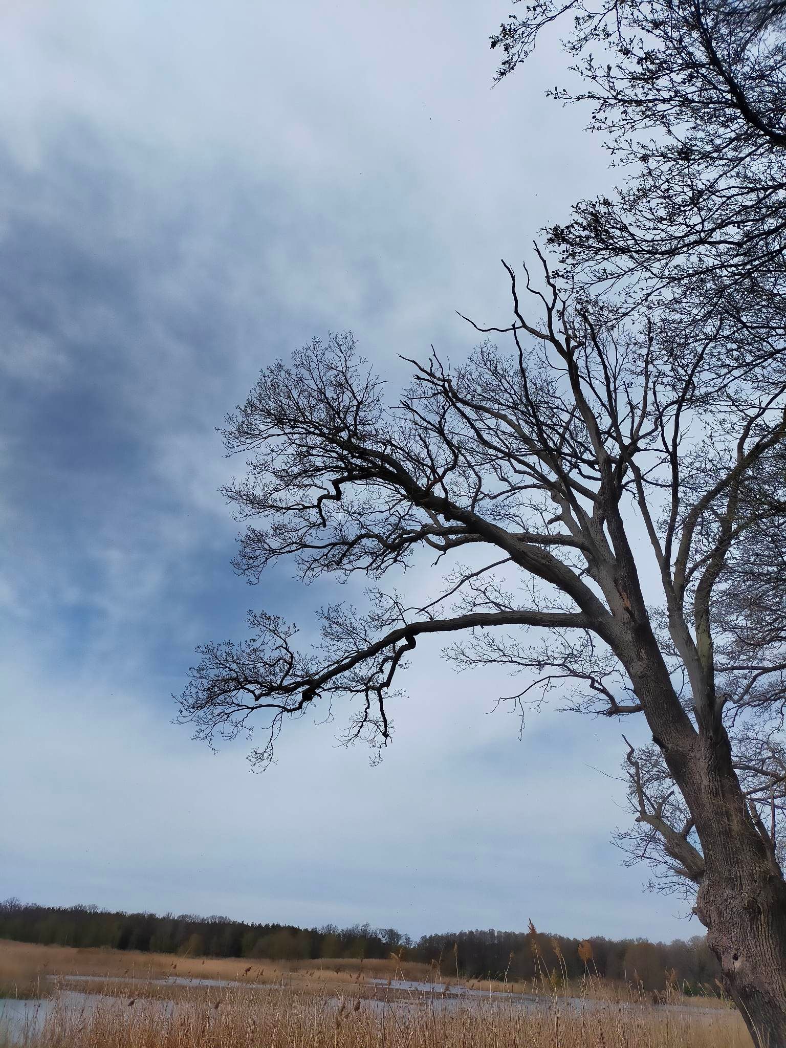
The route runs along the following ponds: Chelm (on the left a wet alder forest and old oak trees; above the pond there is a concrete ramp from where you can enjoy a panoramic view of the pond), the Large Harbour (on the right) and the Heather Pond (on the left) with a site of a protected and rare aquatic plant - the white water mushroom; the ponds are connected by a sluice which shows the date of its construction - 1934. It is also a convenient place for birdwatching through a telescope. Further on, the ponds of Mala Przystań (a monk's pond dated 1926) and Mala Karol with numerous stands of floating salvinia, and on the left, the pond of Wrzosowy. At the end of the Wrzosowy and Little Charles ponds, there is a fork in the road, where you once again head in an easterly direction. The causeway initially leads between Little Charles (right) and Birchwood Pond, and after a few hundred metres leads you to Big Charles (right) and Lipsk Pond and b; a band ditch flows on the right, and the River Prądnia (Branda) flows a little further on. Several mighty beech trees, among others, grow on the dyke. After approx. 2 km, the largest pond of the complex is the Black Forest. The nature trail soon joins the blue and black cycling paths. Many pedunculate oaks of monumental size grow on the dyke. The mixed forest turns into an alder-ash riparian - centuries ago there was a pond called Wilhelmina here.
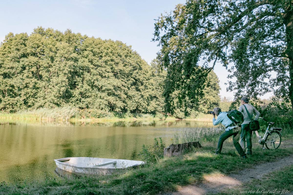
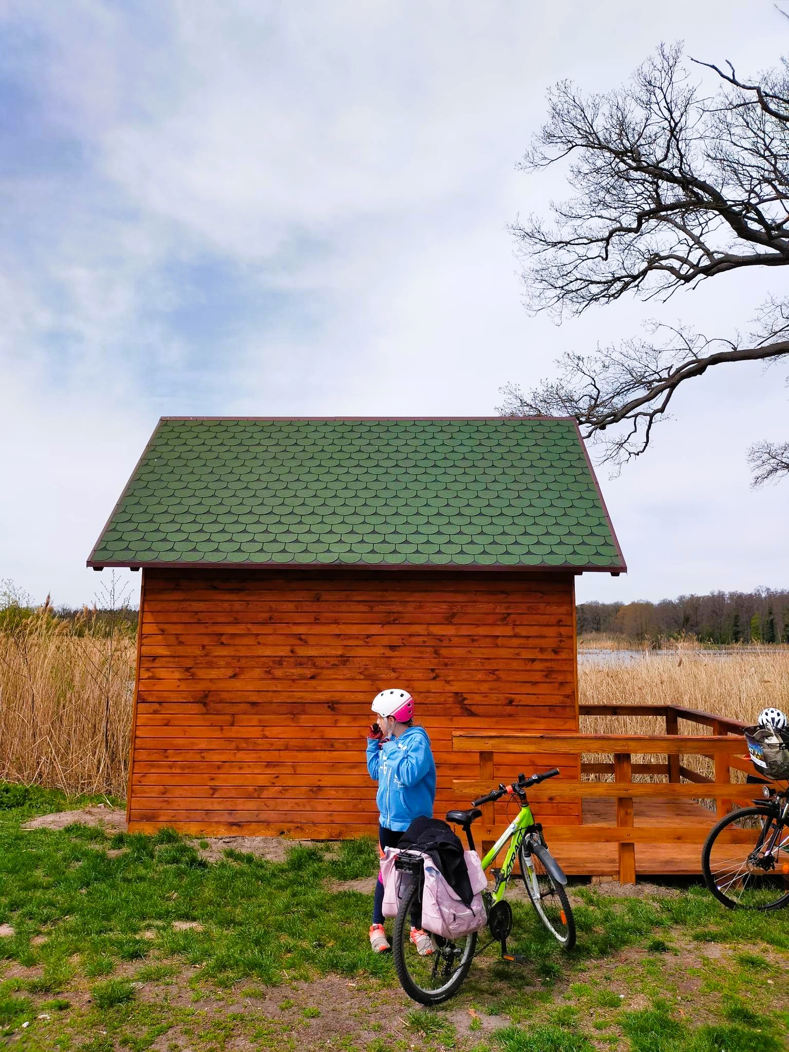
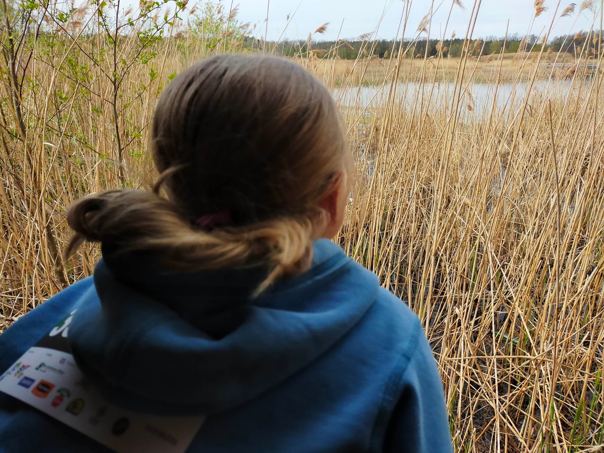
We have plenty of graceful photographic motives on the nature trail.
At this point, the path route crosses the red hiking trail. Signposts point in the direction of an interesting place - the Hunter's Monument and the Hubertus Glade; it is worth deviating from the route to visit this place. Retracing the path, you reach the viewpoint over the Black Forest and Sophia ponds. Passing the ponds, the route enters wet forests - alder and meadows. On the border of the ponds and the forest, just by the roadside, stands the most beautiful monumental specimen of the pedunculate oak. Further along the road, you pass several canals carrying water to and from the ponds. Slowly, the forest becomes drier and changes to oak-hornbeam and mixed forest. On the left, the nest of a buzzard, a bird of prey, is hidden in the treetops. We soon close the loop and head back west towards the railway station in Krosnice.
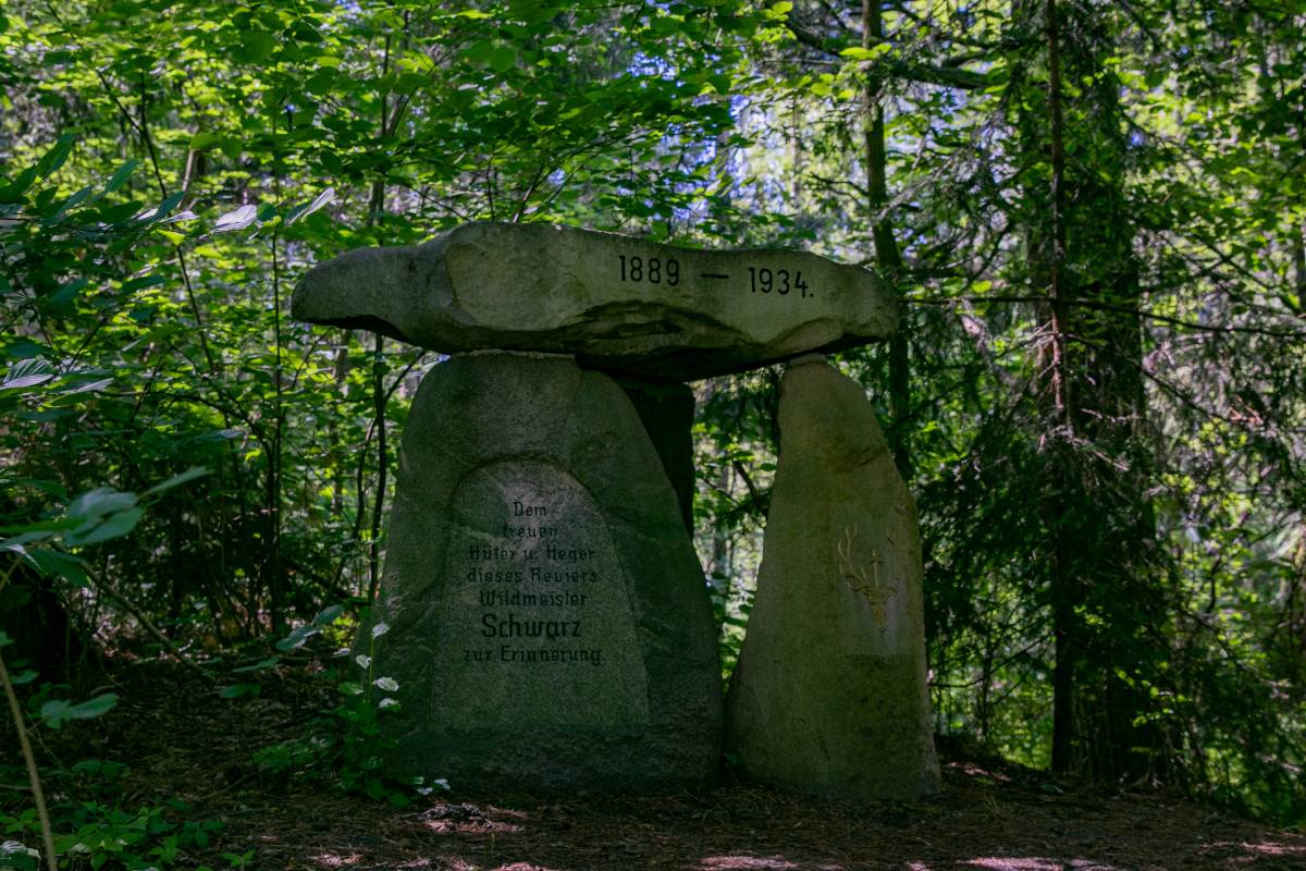
Hunter's Grave - monument erected by Count Hochberg to his trusted gamekeeper and hunter after his death.
During the walk along the path it is worthwhile to pay attention to:
1. The successive stages of succession, i.e. the overgrowth of the reservoirs - different stages of succession can be seen in the individual ponds.
2. Old monumental oak trees.
3. Dated water features, e.g. monks.
4. Protected aquatic plant sites.
5. Different types of woodland.
6. Buzzard's nest.
7. Historic ore houses (built in 1876).
description taken from: www.krosnice.pl
ELEVATION PROFILE OF THE ROUTE:
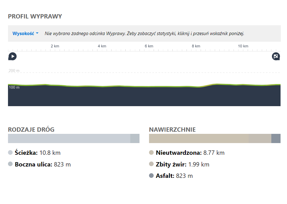
Want a GPX of the route? Download from under the map or contact us: biuro@dkr.travel.pl
Need help organising a group holiday? Contact us: biuro@dkr.travel.pl
If you are interested in helping us plan and prepare your group's stay and in being accompanied by a local guide who will tell you about the region's assets and take you to the most interesting places, please contact us. (Paid offer, we will provide an offer after a no-obligation e-mail contact). We provide certified guides, available during the week and at weekends, who also speak English or German.
Download the free
app for
smartphones